The 214 Wainwrights

214 fells from Alfred Wainwright’s Pictorial Guides — each with a photo and a summit locator drawn from real coordinates. Paths belong on the terrain map, not on a guessed line.

Not a navigation app. Locator sketches mark the summit only. The interactive map uses OpenTopoMap so you can see real public paths. Carry an OS map and compass, check the weather, and do not follow a line we have not drawn — because we have not drawn one.

Every pin is a surveyed summit (Database of British and Irish Hills). Switch to Terrain to see mapped footpaths.

Book 1 · The Eastern Fells

Helvellyn, Fairfield and the ridge between Ullswater and the central valley. · 35 fells

Helvellyn Locator sketch of Helvellyn
Hard · 6–8 hrs

Helvellyn

950 m · from Glenridding

Nethermost Pike Locator sketch of Nethermost Pike
Hard · 6–8 hrs

Nethermost Pike

891 m · from Glenridding

Catstye Cam Locator sketch of Catstye Cam
Hard · 6–8 hrs

Catstye Cam

890 m · from Glenridding

Raise Locator sketch of Raise
Hard · 6–8 hrs

Raise

883 m · from Glenridding

Fairfield Locator sketch of Fairfield
Hard · 6–8 hrs

Fairfield

873 m · from Grasmere

White Side Locator sketch of White Side
Hard · 6–8 hrs

White Side

863 m · from Glenridding

Dollywaggon Pike Locator sketch of Dollywaggon Pike
Hard · 6–8 hrs

Dollywaggon Pike

859 m · from Glenridding
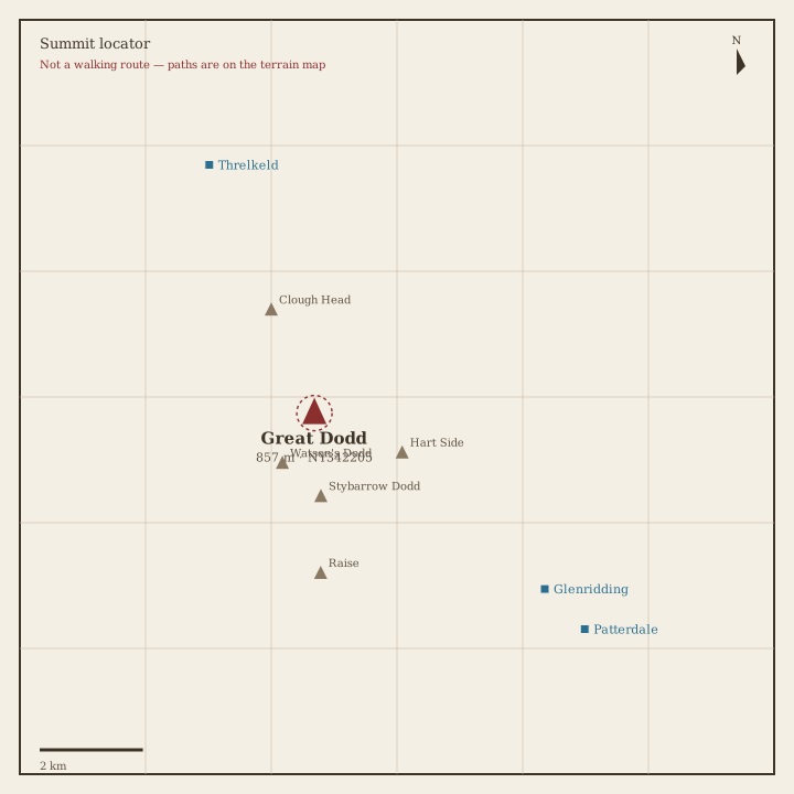
Great Dodd Locator sketch of Great Dodd
Hard · 6–8 hrs

Great Dodd

857 m · from Threlkeld

Stybarrow Dodd Locator sketch of Stybarrow Dodd
Hard · 5–7 hrs

Stybarrow Dodd

844 m · from Glenridding
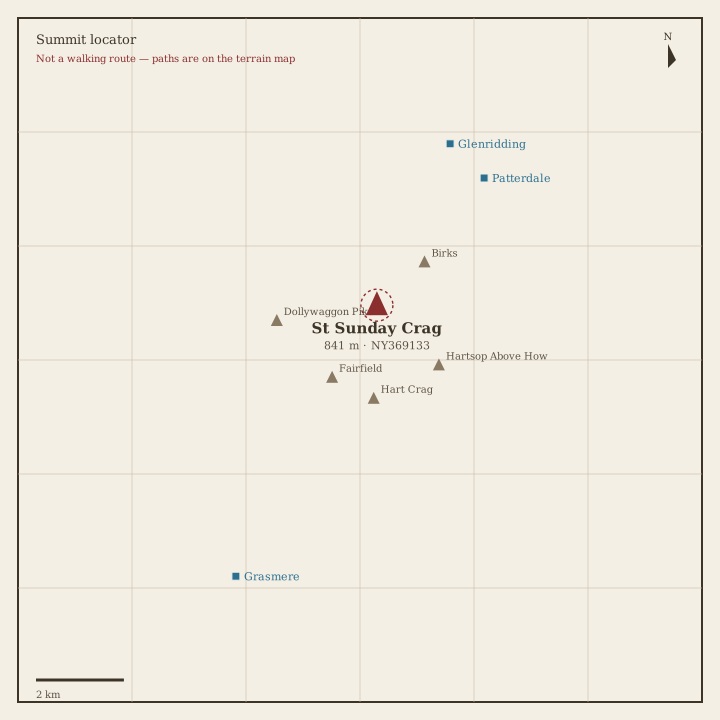
St Sunday Crag Locator sketch of St Sunday Crag
Hard · 5–7 hrs

St Sunday Crag

841 m · from Patterdale
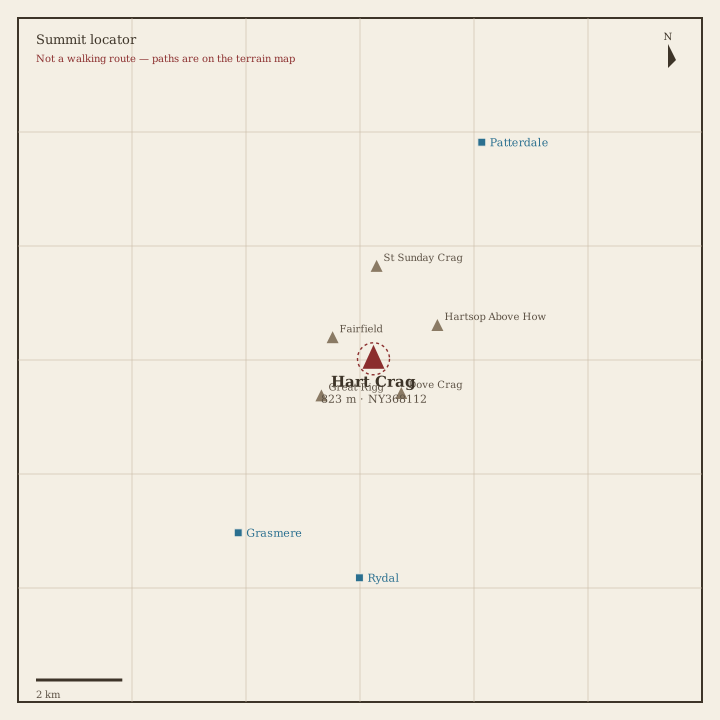
Hart Crag Locator sketch of Hart Crag
Hard · 5–7 hrs

Hart Crag

823 m · from Rydal

Dove Crag Locator sketch of Dove Crag
Hard · 5–7 hrs

Dove Crag

792 m · from Rydal

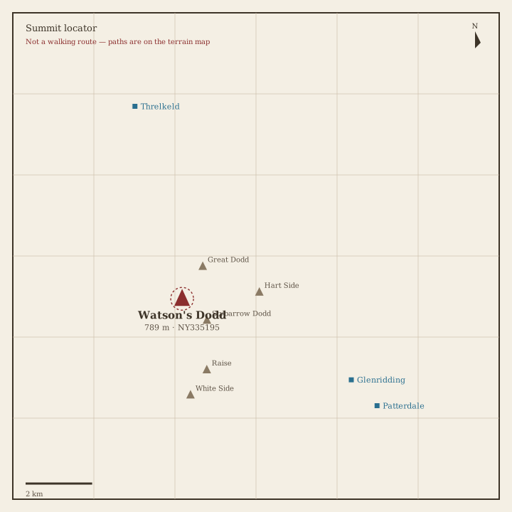
Watson's Dodd Locator sketch of Watson's Dodd
Hard · 5–7 hrs

Watson's Dodd

789 m · from Glenridding
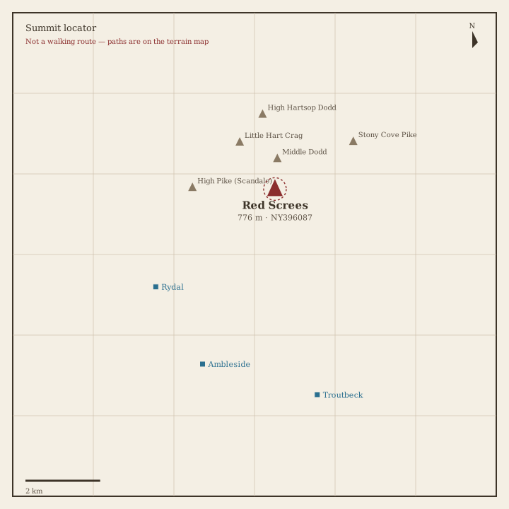
Red Screes Locator sketch of Red Screes
Hard · 5–7 hrs

Red Screes

776 m · from Rydal

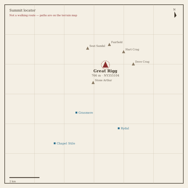
Great Rigg Locator sketch of Great Rigg
Hard · 5–7 hrs

Great Rigg

766 m · from Grasmere

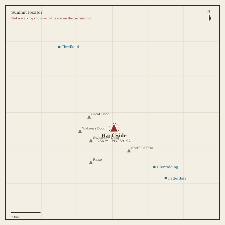
Hart Side Locator sketch of Hart Side
Hard · 5–7 hrs

Hart Side

756 m · from Glenridding

Seat Sandal Locator sketch of Seat Sandal
Hard · 5–7 hrs

Seat Sandal

737 m · from Grasmere

Clough Head Locator sketch of Clough Head
Hard · 5–7 hrs

Clough Head

726 m · from Threlkeld

Birkhouse Moor Locator sketch of Birkhouse Moor
Hard · 5–7 hrs

Birkhouse Moor

718 m · from Glenridding

Sheffield Pike Locator sketch of Sheffield Pike
Hard · 5–7 hrs

Sheffield Pike

676 m · from Glenridding
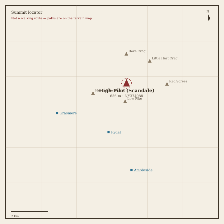
High Pike (Scandale) Locator sketch of High Pike (Scandale)
Hard · 5–7 hrs

High Pike (Scandale)

656 m · from Rydal
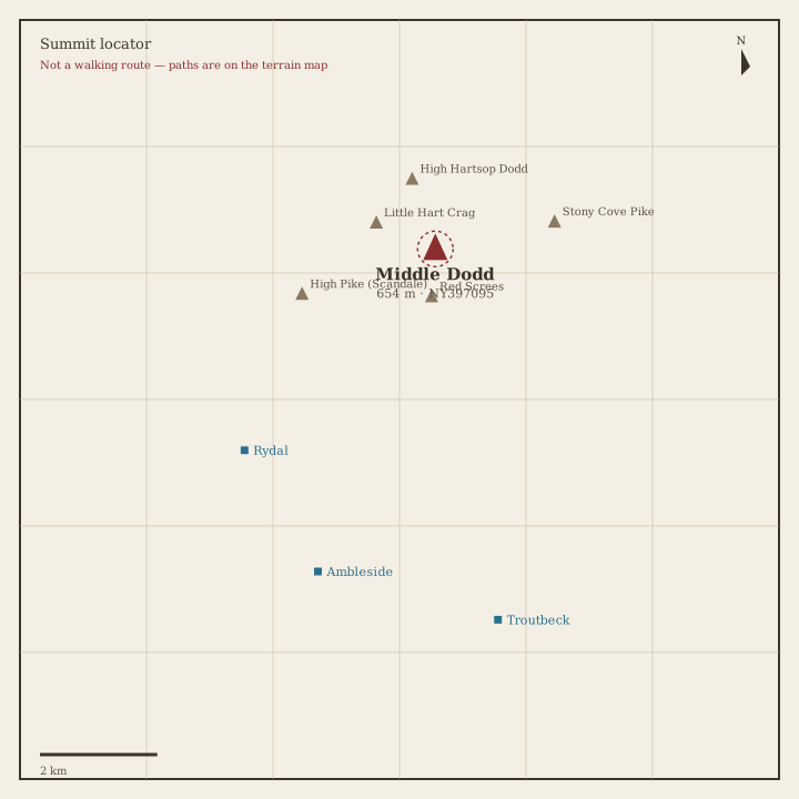
Middle Dodd Locator sketch of Middle Dodd
Hard · 5–7 hrs

Middle Dodd

654 m · from Rydal

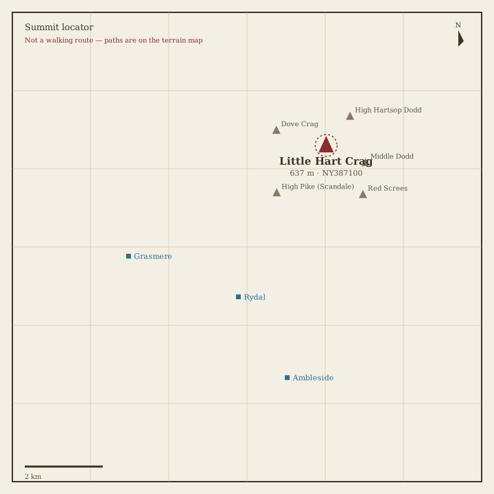
Little Hart Crag Locator sketch of Little Hart Crag
Moderate · 3–5 hrs

Little Hart Crag

637 m · from Rydal

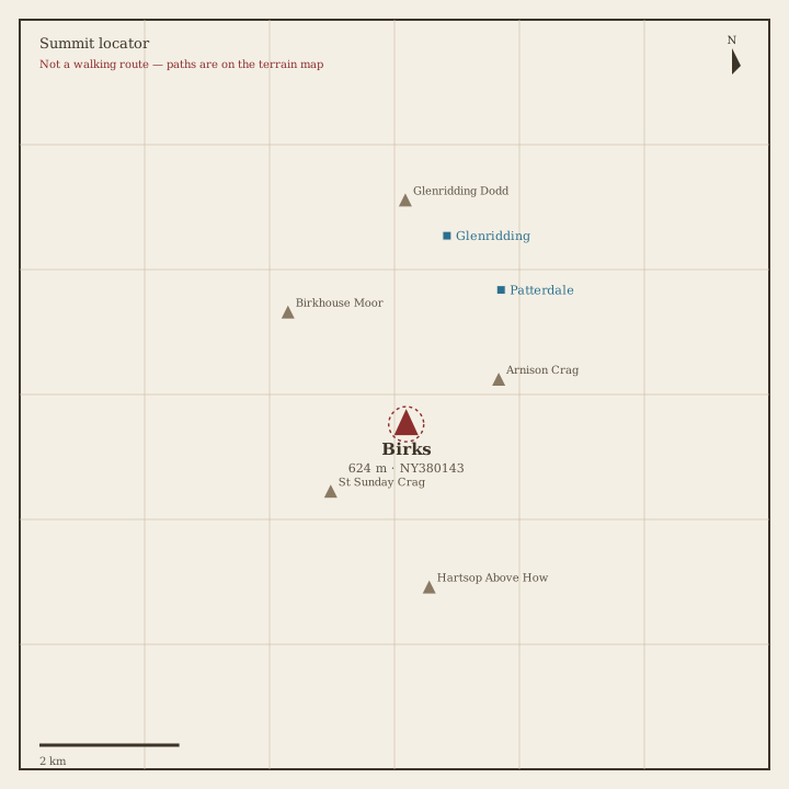
Birks Locator sketch of Birks
Moderate · 3–5 hrs

Birks

624 m · from Patterdale

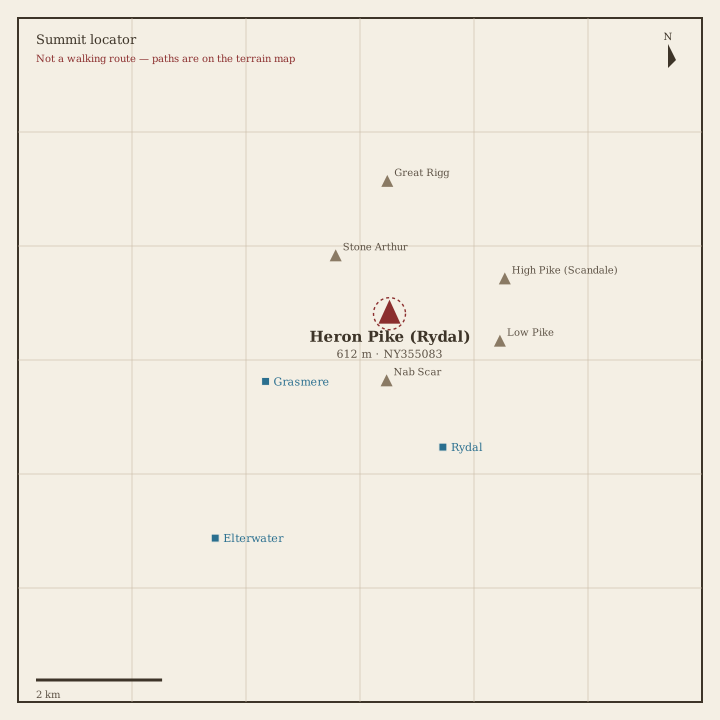
Heron Pike Locator sketch of Heron Pike
Moderate · 3–5 hrs

Heron Pike

612 m · from Rydal

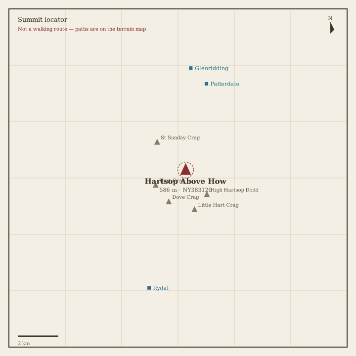
Hartsop above How Locator sketch of Hartsop above How
Moderate · 3–5 hrs

Hartsop above How

586 m · from Patterdale

Great Mell Fell Locator sketch of Great Mell Fell
Moderate · 3–5 hrs

Great Mell Fell

537 m · from Penruddock

High Hartsop Dodd Locator sketch of High Hartsop Dodd
Moderate · 3–5 hrs

High Hartsop Dodd

519 m · from Patterdale
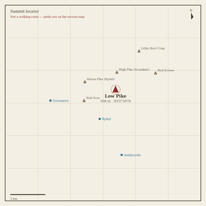
Low Pike Locator sketch of Low Pike
Moderate · 3–5 hrs

Low Pike

508 m · from Rydal

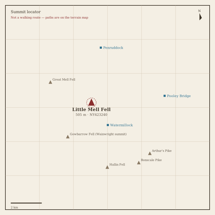
Little Mell Fell Locator sketch of Little Mell Fell
Moderate · 3–5 hrs

Little Mell Fell

505 m · from Watermillock

Stone Arthur Locator sketch of Stone Arthur
Moderate · 3–5 hrs

Stone Arthur

504 m · from Grasmere

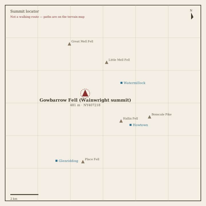
Gowbarrow Fell Locator sketch of Gowbarrow Fell
Moderate · 3–5 hrs

Gowbarrow Fell

481 m · from Watermillock
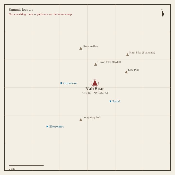
Nab Scar Locator sketch of Nab Scar
Moderate · 3–5 hrs

Nab Scar

450 m · from Rydal

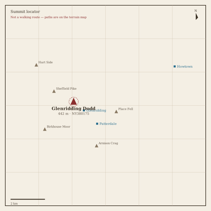
Glenridding Dodd Locator sketch of Glenridding Dodd
Moderate · 3–5 hrs

Glenridding Dodd

442 m · from Glenridding
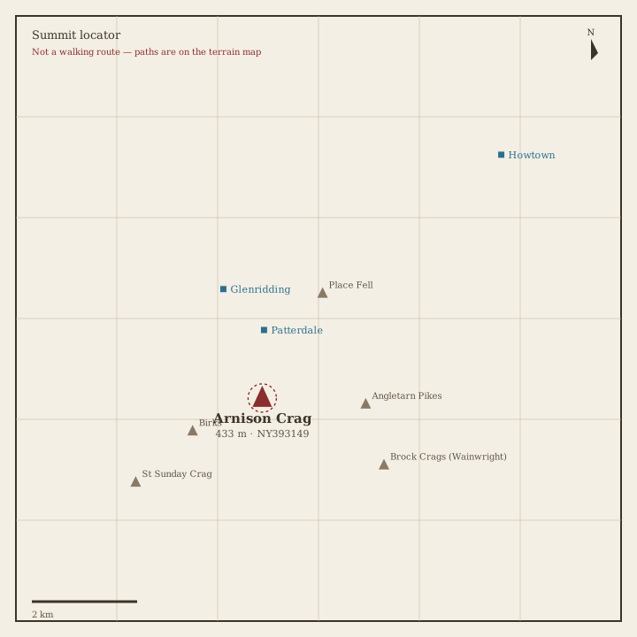
Arnison Crag Locator sketch of Arnison Crag
Moderate · 3–5 hrs

Arnison Crag

433 m · from Patterdale