The 214 Wainwrights

214 fells from Alfred Wainwright’s Pictorial Guides — each with a photo and a summit locator drawn from real coordinates. Paths belong on the terrain map, not on a guessed line.

Not a navigation app. Locator sketches mark the summit only. The interactive map uses OpenTopoMap so you can see real public paths. Carry an OS map and compass, check the weather, and do not follow a line we have not drawn — because we have not drawn one.

Every pin is a surveyed summit (Database of British and Irish Hills). Switch to Terrain to see mapped footpaths.

Book 4 · The Southern Fells

The Scafells, Coniston fells and England's highest ground. · 30 fells
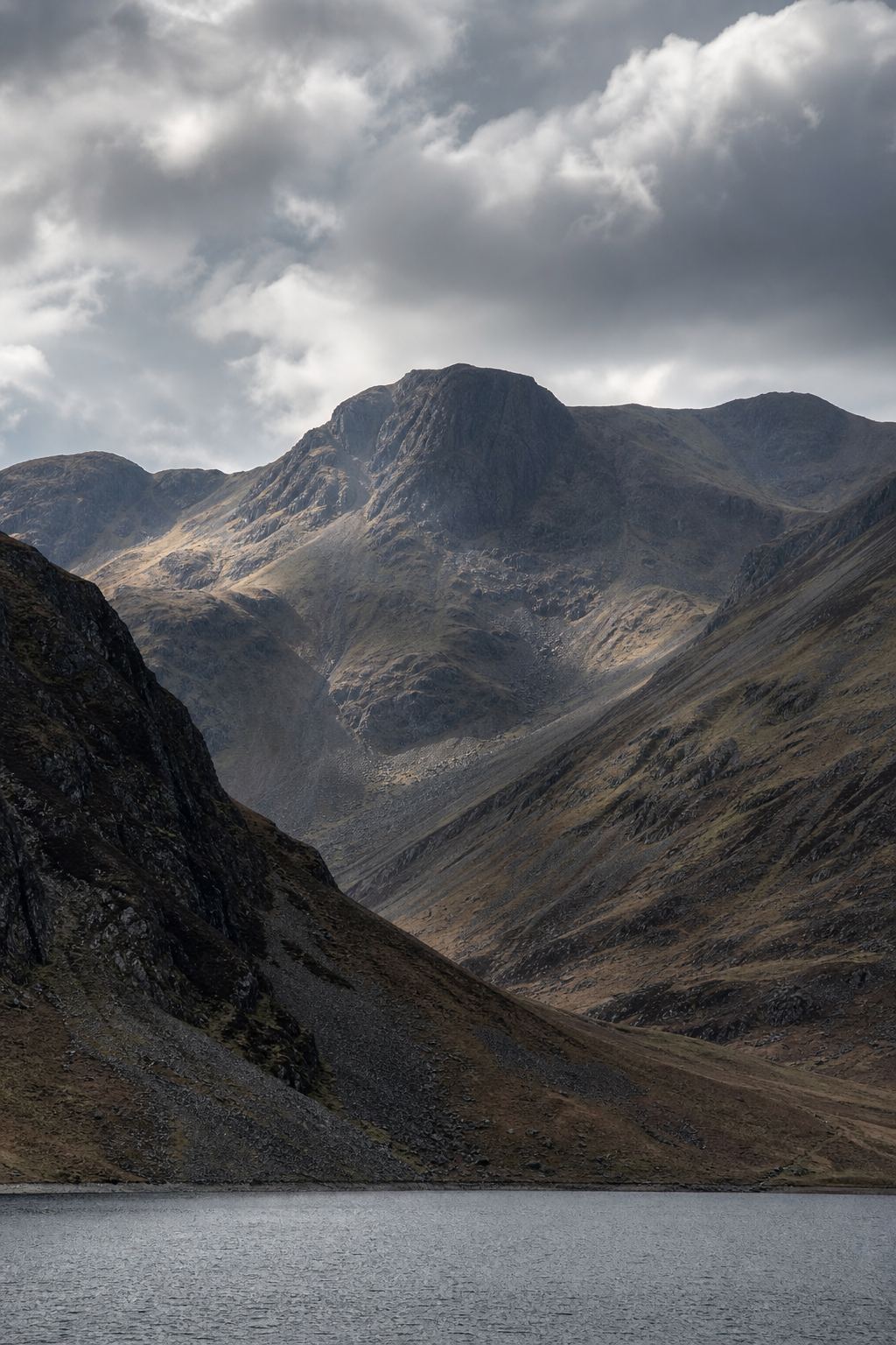
Scafell Pike Locator sketch of Scafell Pike
Hard · 6–8 hrs

Scafell Pike

978 m · from Wasdale Head

Scafell Locator sketch of Scafell
Hard · 6–8 hrs

Scafell

964 m · from Wasdale Head

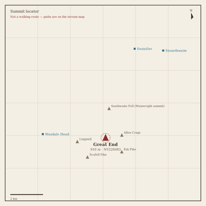
Great End Locator sketch of Great End
Hard · 6–8 hrs

Great End

910 m · from Wasdale Head

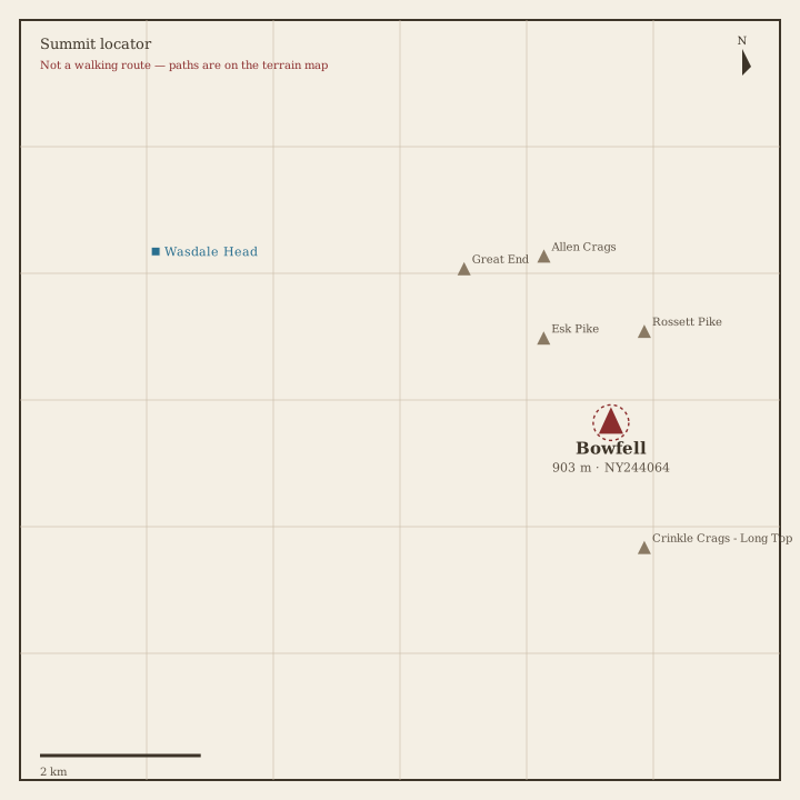
Bowfell Locator sketch of Bowfell
Hard · 6–8 hrs

Bowfell

903 m · from Wasdale Head

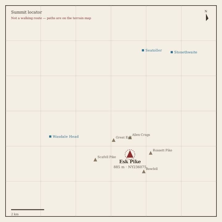
Esk Pike Locator sketch of Esk Pike
Hard · 6–8 hrs

Esk Pike

885 m · from Wasdale Head

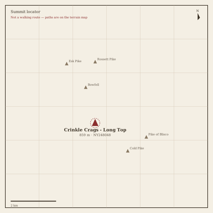
Crinkle Crags Locator sketch of Crinkle Crags
Hard · 6–8 hrs

Crinkle Crags

859 m · from Wasdale Head

Lingmell Locator sketch of Lingmell
Hard · 5–7 hrs

Lingmell

807 m · from Wasdale Head

The Old Man of Coniston Locator sketch of The Old Man of Coniston
Hard · 5–7 hrs

The Old Man of Coniston

802 m · from Coniston

Swirl How Locator sketch of Swirl How
Hard · 5–7 hrs

Swirl How

802 m · from Coniston

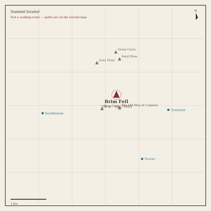
Brim Fell Locator sketch of Brim Fell
Hard · 5–7 hrs

Brim Fell

796 m · from Coniston

Great Carrs Locator sketch of Great Carrs
Hard · 5–7 hrs

Great Carrs

785 m · from Coniston

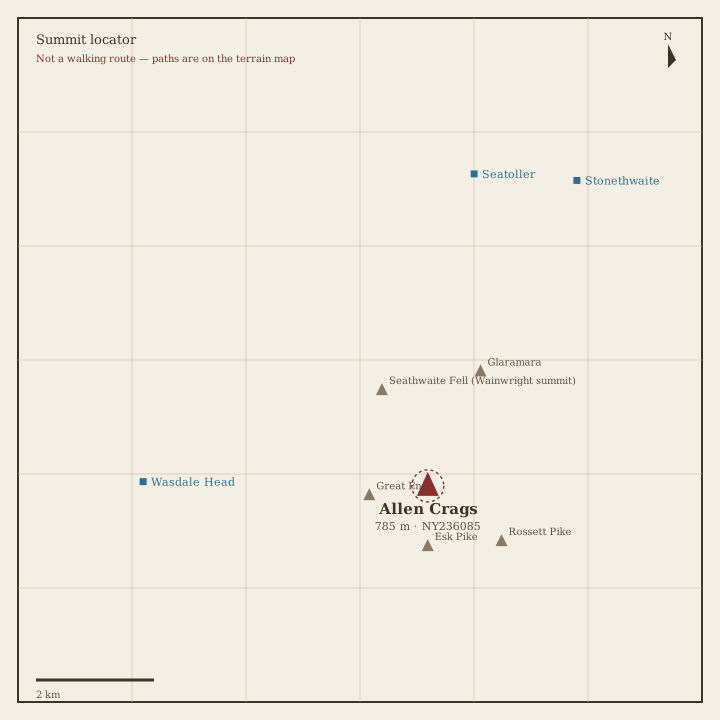
Allen Crags Locator sketch of Allen Crags
Hard · 5–7 hrs

Allen Crags

785 m · from Wasdale Head
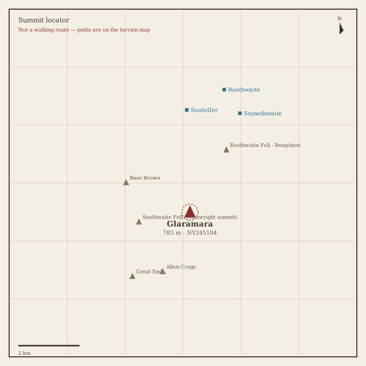
Glaramara Locator sketch of Glaramara
Hard · 5–7 hrs

Glaramara

783 m · from Seatoller

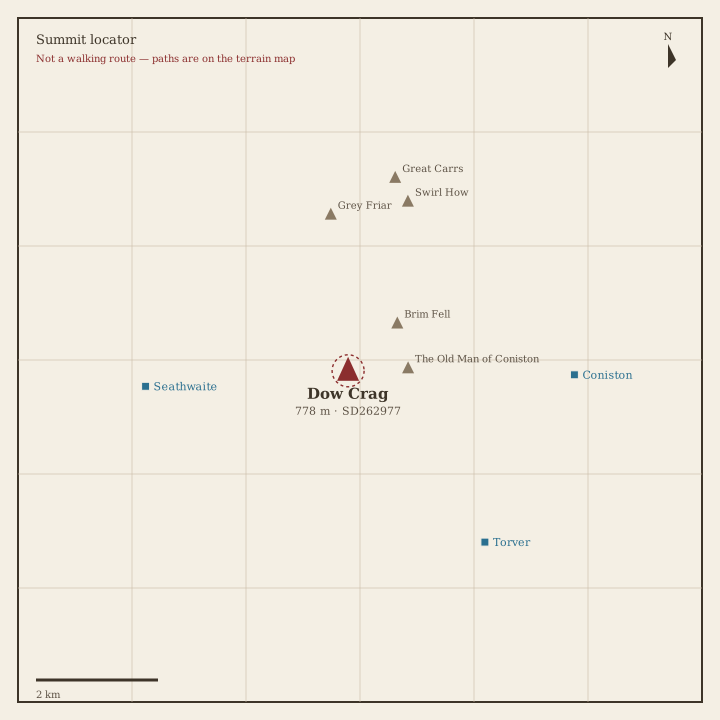
Dow Crag Locator sketch of Dow Crag
Hard · 5–7 hrs

Dow Crag

778 m · from Seathwaite

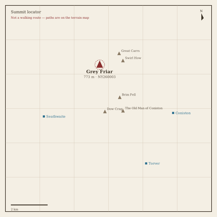
Grey Friar Locator sketch of Grey Friar
Hard · 5–7 hrs

Grey Friar

773 m · from Seathwaite

Wetherlam Locator sketch of Wetherlam
Hard · 5–7 hrs

Wetherlam

763 m · from Coniston

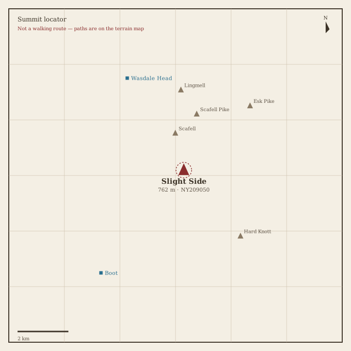
Slight Side Locator sketch of Slight Side
Hard · 5–7 hrs

Slight Side

762 m · from Wasdale Head

Pike of Blisco Locator sketch of Pike of Blisco
Hard · 5–7 hrs

Pike of Blisco

705 m · from Chapel Stile

Cold Pike Locator sketch of Cold Pike
Hard · 5–7 hrs

Cold Pike

700 m · from Chapel Stile

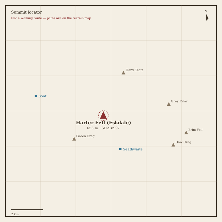
Harter Fell (Eskdale) Locator sketch of Harter Fell (Eskdale)
Hard · 5–7 hrs

Harter Fell (Eskdale)

653 m · from Seathwaite
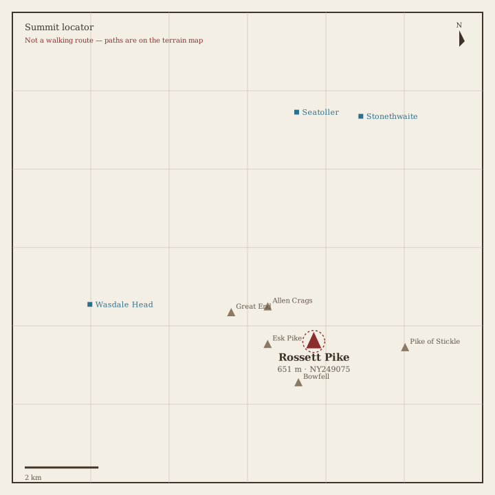
Rossett Pike Locator sketch of Rossett Pike
Hard · 5–7 hrs

Rossett Pike

651 m · from Seatoller

Illgill Head Locator sketch of Illgill Head
Moderate · 3–5 hrs

Illgill Head

609 m · from Boot

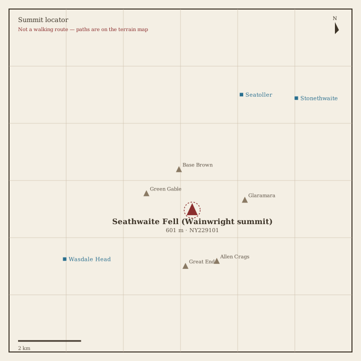
Seathwaite Fell Locator sketch of Seathwaite Fell
Moderate · 3–5 hrs

Seathwaite Fell

601 m · from Seatoller
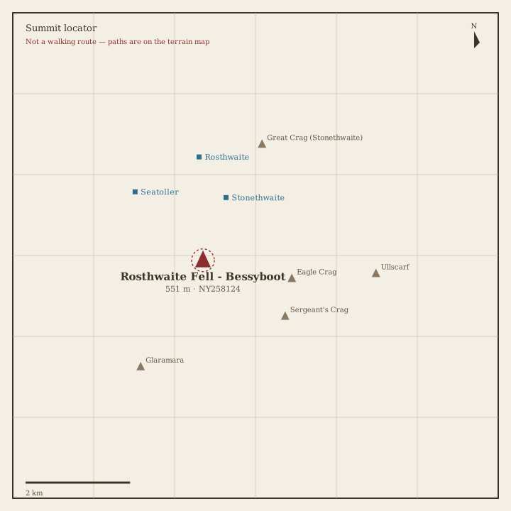
Rosthwaite Fell Locator sketch of Rosthwaite Fell
Moderate · 3–5 hrs

Rosthwaite Fell

551 m · from Stonethwaite
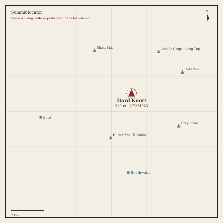
Hard Knott Locator sketch of Hard Knott
Moderate · 3–5 hrs

Hard Knott

549 m · from Seathwaite

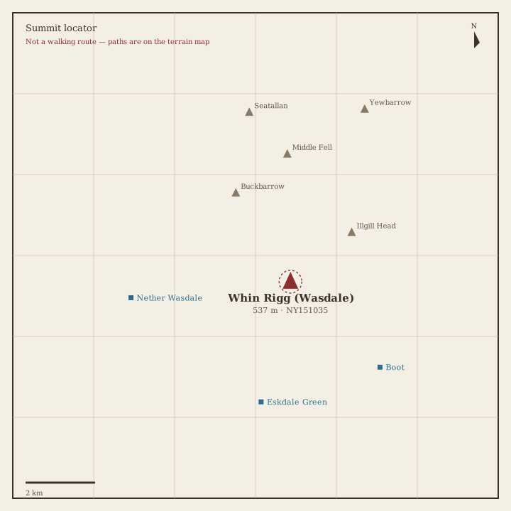
Whin Rigg Locator sketch of Whin Rigg
Moderate · 3–5 hrs

Whin Rigg

537 m · from Eskdale Green

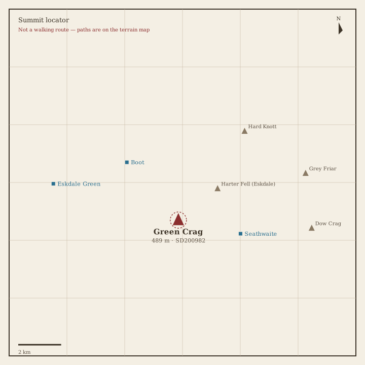
Green Crag Locator sketch of Green Crag
Moderate · 3–5 hrs

Green Crag

489 m · from Seathwaite

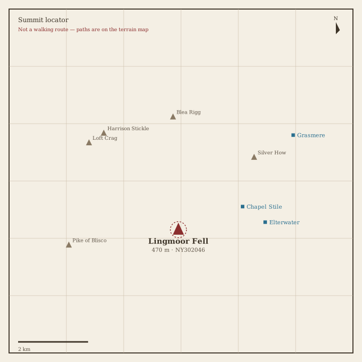
Lingmoor Fell Locator sketch of Lingmoor Fell
Moderate · 3–5 hrs

Lingmoor Fell

470 m · from Chapel Stile
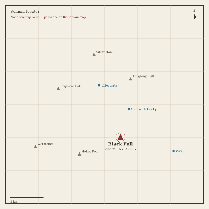
Black Fell Locator sketch of Black Fell
Easy · 1.5–3 hrs

Black Fell

323 m · from Skelwith Bridge

Holme Fell Locator sketch of Holme Fell
Easy · 1.5–3 hrs

Holme Fell

316 m · from Coniston