Book 7 · The Western Fells
Fellbarrow
416 m / 1,365 ft · NY132242 · from Lorton
Easy
Grade
1.5–3 hrs
Typical time
52 m
Drop
NY132242
Summit grid
Summit only — not a route.
The sketch marks where the fell is. The terrain map shows real mapped paths from OpenStreetMap / OpenTopoMap. We do not draw a line between the valley and the top, so we cannot send you the wrong way. Take OS Explorer, check mountain weather, and turn back if conditions change.
Terrain map
Zoom in to see footpaths and contours. The red marker is the summit, not a suggested line of ascent.
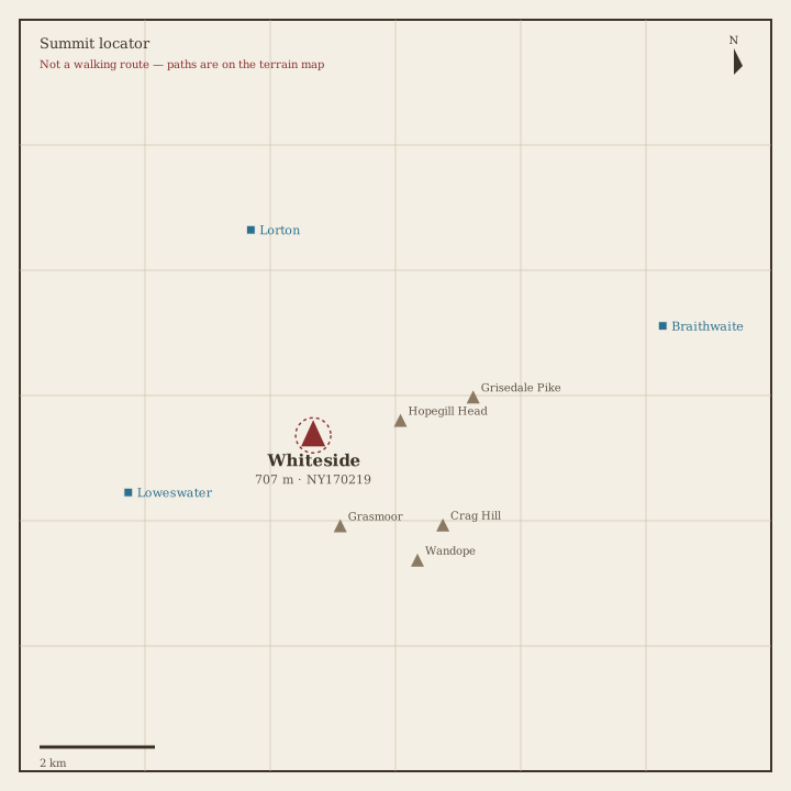
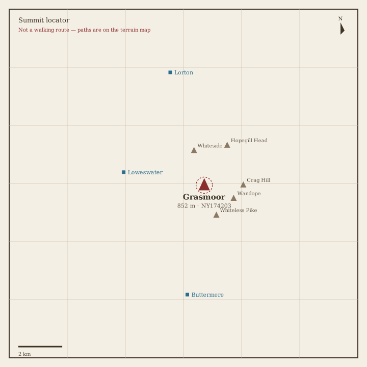
Summit locator
Ink sketch from surveyed latitude and longitude, with nearby fells and villages in their real positions.

About this walk
Summit walk from the Lorton side of the Western Fells. Times are a rough round-trip in fair summer weather. Carry an OS map — the locator sketch is not a path.
Usual valley base: Lorton. Parking, buses and pubs change — check locally before you travel.