The 214 Wainwrights

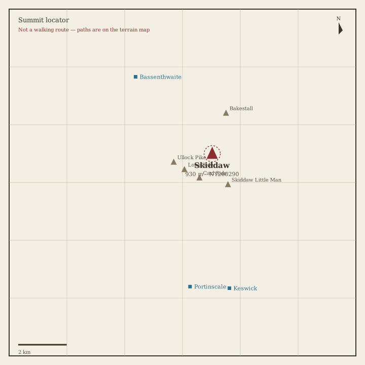
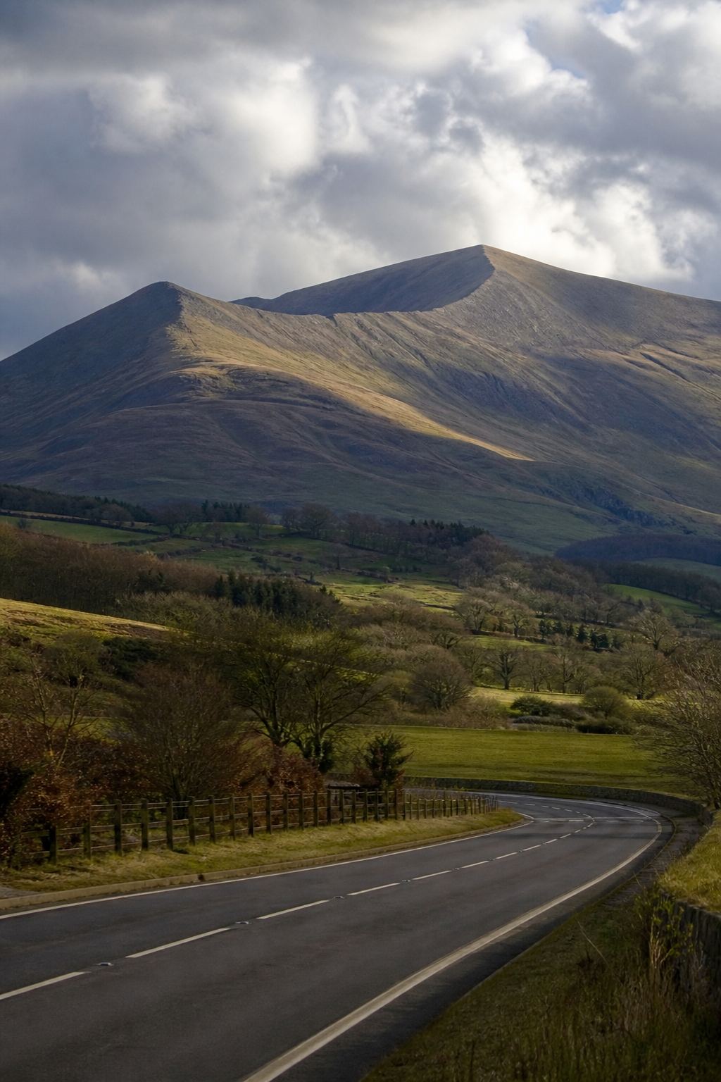
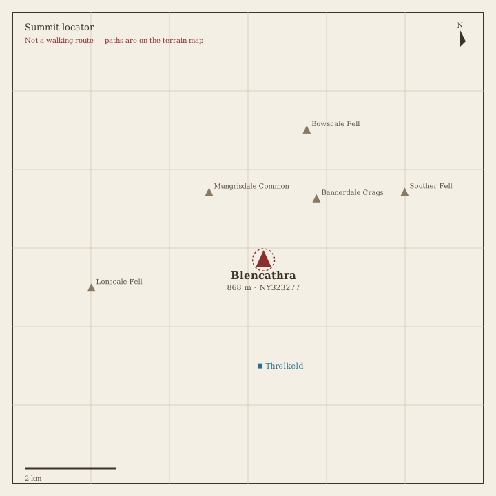
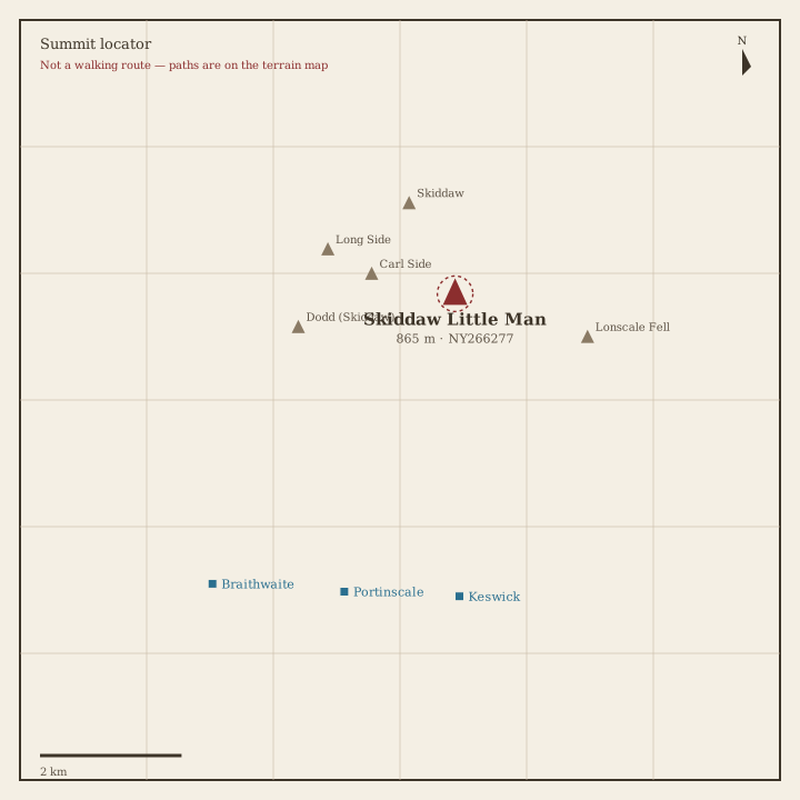
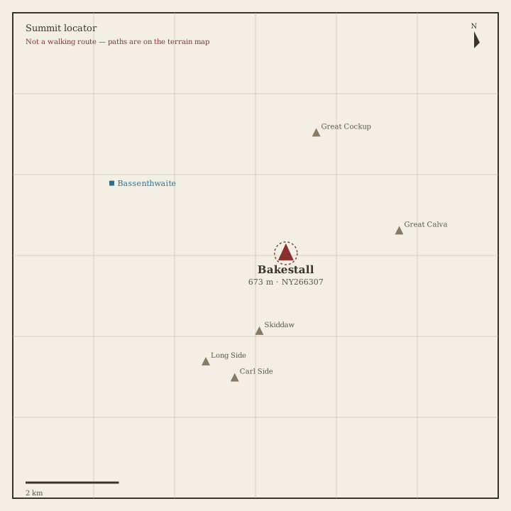
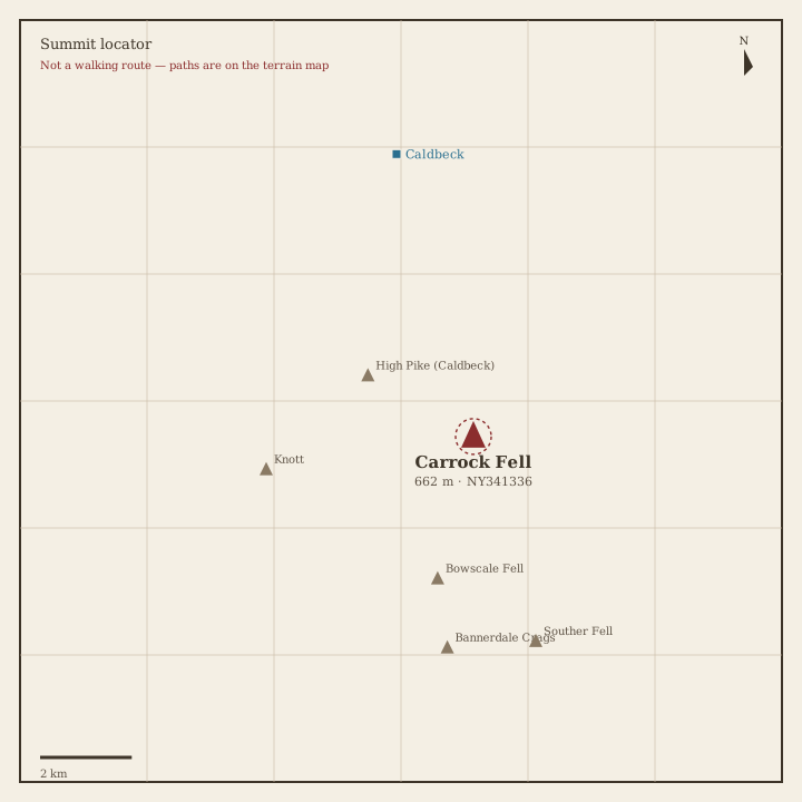
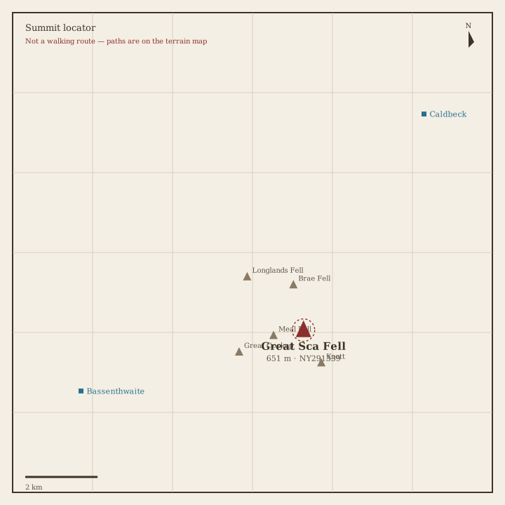
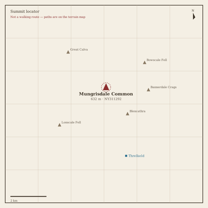
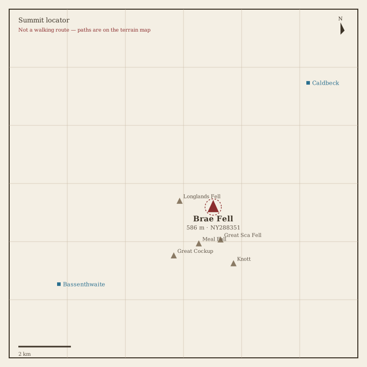
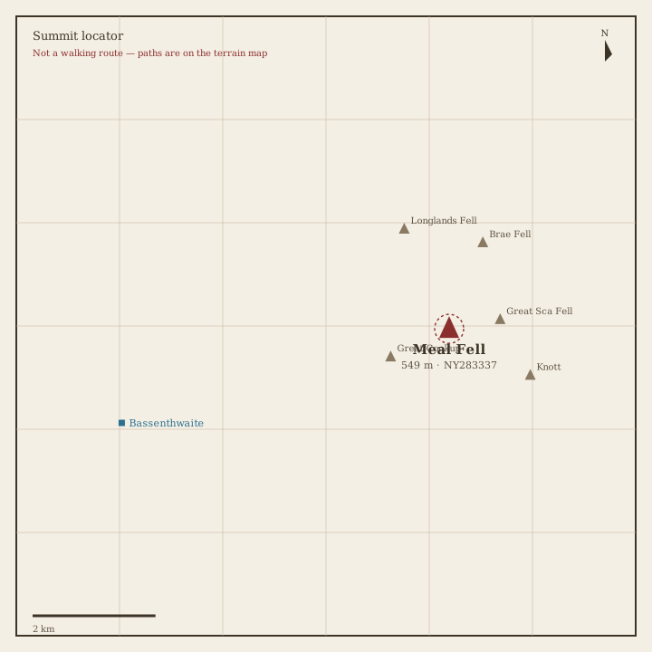
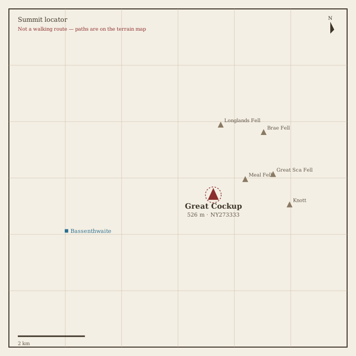
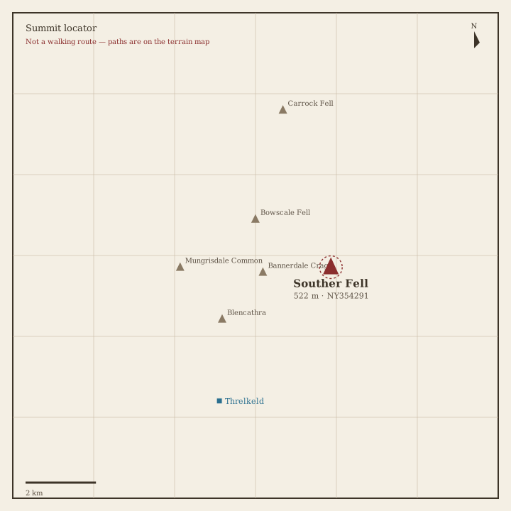
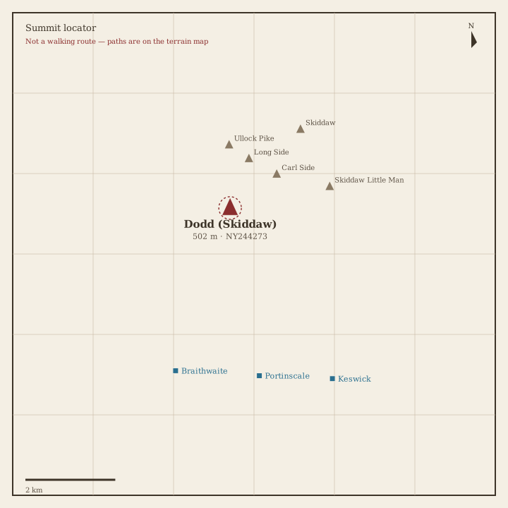
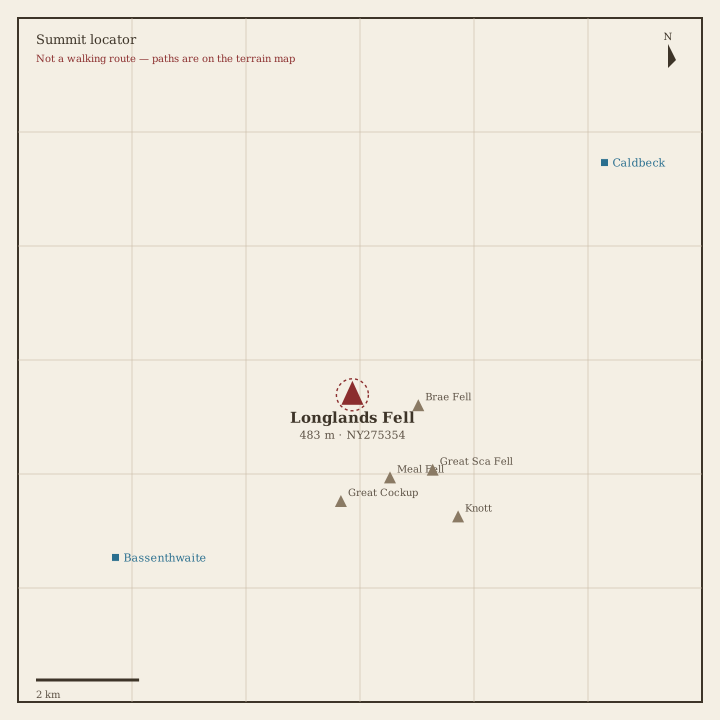
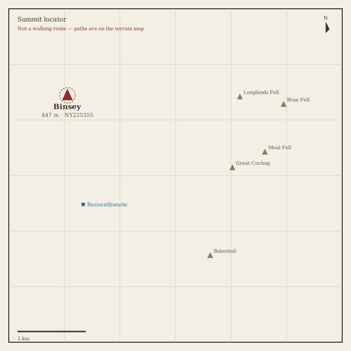
214 fells from Alfred Wainwright’s Pictorial Guides — each with a photo and a summit locator drawn from real coordinates. Paths belong on the terrain map, not on a guessed line.

Not a navigation app. Locator sketches mark the summit only. The interactive map uses OpenTopoMap so you can see real public paths. Carry an OS map and compass, check the weather, and do not follow a line we have not drawn — because we have not drawn one.

Every pin is a surveyed summit (Database of British and Irish Hills). Switch to Terrain to see mapped footpaths.

Book 1 · The Eastern Fells

Helvellyn, Fairfield and the ridge between Ullswater and the central valley. · 35 fells

Helvellyn Locator sketch of Helvellyn
Hard · 6–8 hrs

Helvellyn

950 m · from Glenridding

Nethermost Pike Locator sketch of Nethermost Pike
Hard · 6–8 hrs

Nethermost Pike

891 m · from Glenridding

Catstye Cam Locator sketch of Catstye Cam
Hard · 6–8 hrs

Catstye Cam

890 m · from Glenridding

Raise Locator sketch of Raise
Hard · 6–8 hrs

Raise

883 m · from Glenridding

Fairfield Locator sketch of Fairfield
Hard · 6–8 hrs

Fairfield

873 m · from Grasmere

White Side Locator sketch of White Side
Hard · 6–8 hrs

White Side

863 m · from Glenridding

Dollywaggon Pike Locator sketch of Dollywaggon Pike
Hard · 6–8 hrs

Dollywaggon Pike

859 m · from Glenridding
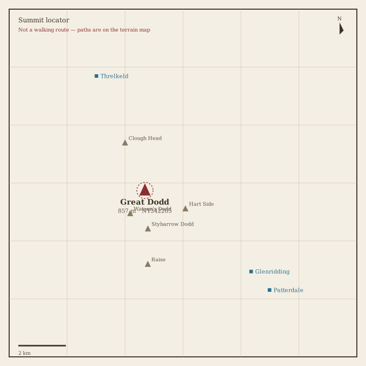
Great Dodd Locator sketch of Great Dodd
Hard · 6–8 hrs

Great Dodd

857 m · from Threlkeld

Stybarrow Dodd Locator sketch of Stybarrow Dodd
Hard · 5–7 hrs

Stybarrow Dodd

844 m · from Glenridding
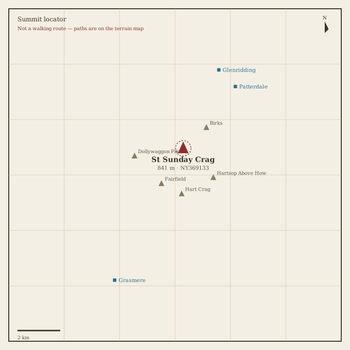
St Sunday Crag Locator sketch of St Sunday Crag
Hard · 5–7 hrs

St Sunday Crag

841 m · from Patterdale
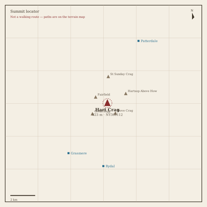
Hart Crag Locator sketch of Hart Crag
Hard · 5–7 hrs

Hart Crag

823 m · from Rydal

Dove Crag Locator sketch of Dove Crag
Hard · 5–7 hrs

Dove Crag

792 m · from Rydal

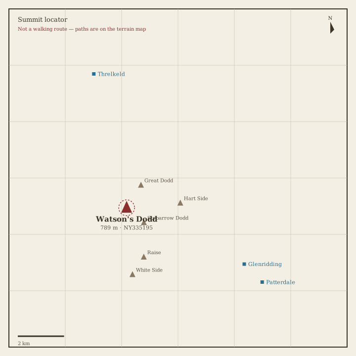
Watson's Dodd Locator sketch of Watson's Dodd
Hard · 5–7 hrs

Watson's Dodd

789 m · from Glenridding
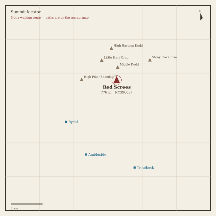
Red Screes Locator sketch of Red Screes
Hard · 5–7 hrs

Red Screes

776 m · from Rydal

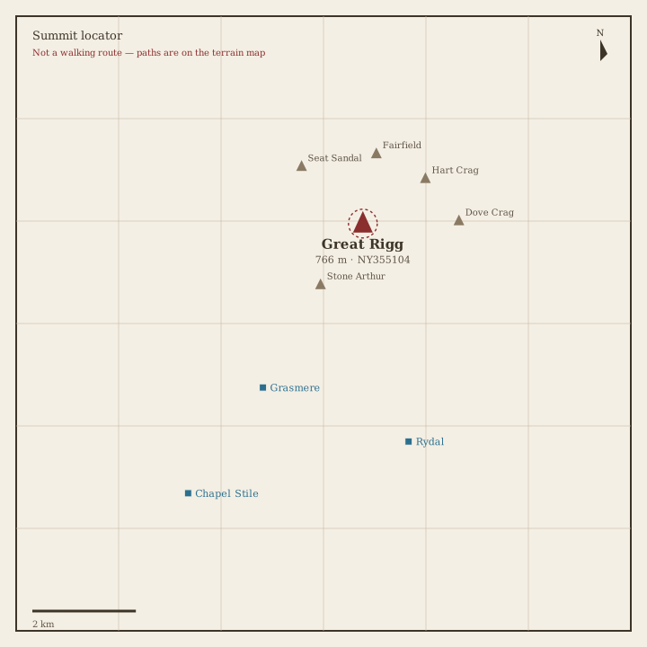
Great Rigg Locator sketch of Great Rigg
Hard · 5–7 hrs

Great Rigg

766 m · from Grasmere

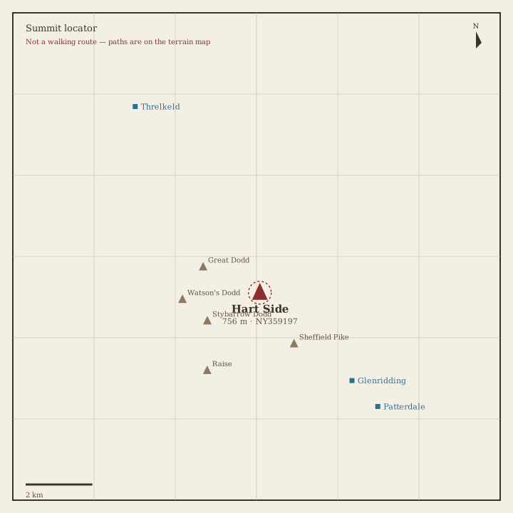
Hart Side Locator sketch of Hart Side
Hard · 5–7 hrs

Hart Side

756 m · from Glenridding

Seat Sandal Locator sketch of Seat Sandal
Hard · 5–7 hrs

Seat Sandal

737 m · from Grasmere

Clough Head Locator sketch of Clough Head
Hard · 5–7 hrs

Clough Head

726 m · from Threlkeld

Birkhouse Moor Locator sketch of Birkhouse Moor
Hard · 5–7 hrs

Birkhouse Moor

718 m · from Glenridding

Sheffield Pike Locator sketch of Sheffield Pike
Hard · 5–7 hrs

Sheffield Pike

676 m · from Glenridding
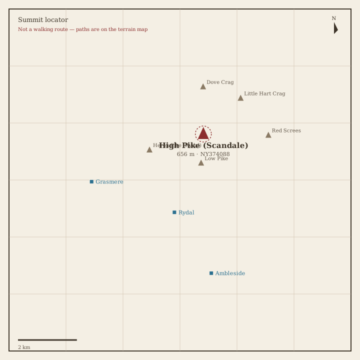
High Pike (Scandale) Locator sketch of High Pike (Scandale)
Hard · 5–7 hrs

High Pike (Scandale)

656 m · from Rydal
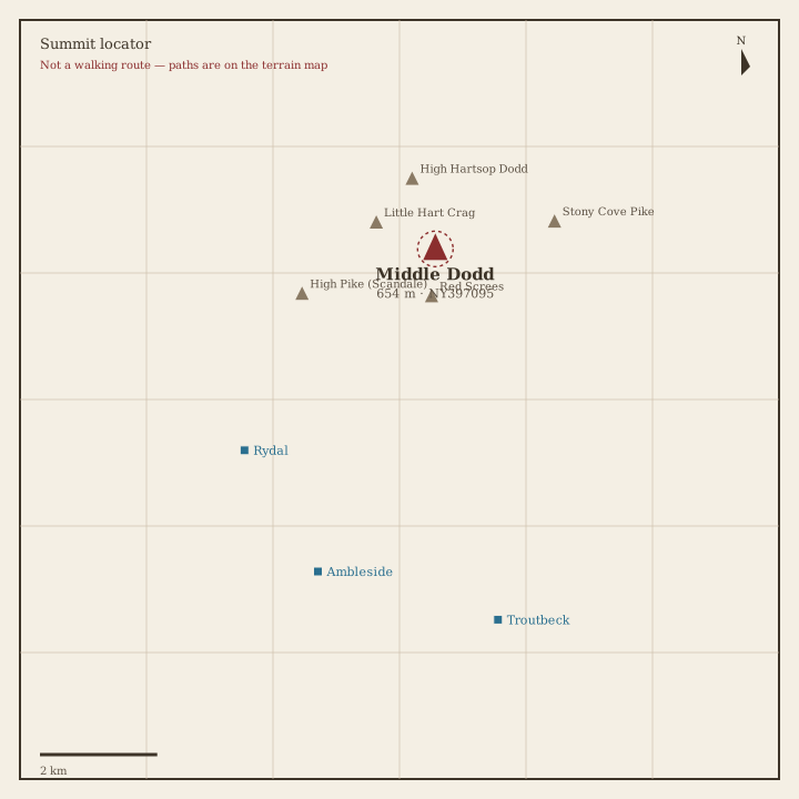
Middle Dodd Locator sketch of Middle Dodd
Hard · 5–7 hrs

Middle Dodd

654 m · from Rydal

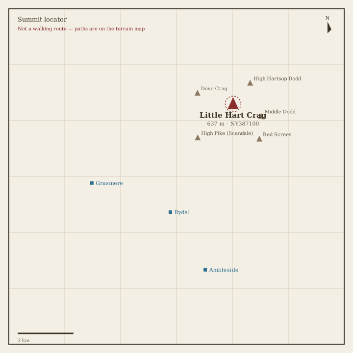
Little Hart Crag Locator sketch of Little Hart Crag
Moderate · 3–5 hrs

Little Hart Crag

637 m · from Rydal

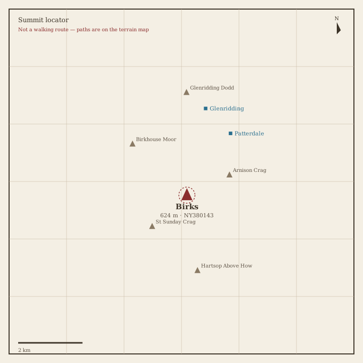
Birks Locator sketch of Birks
Moderate · 3–5 hrs

Birks

624 m · from Patterdale

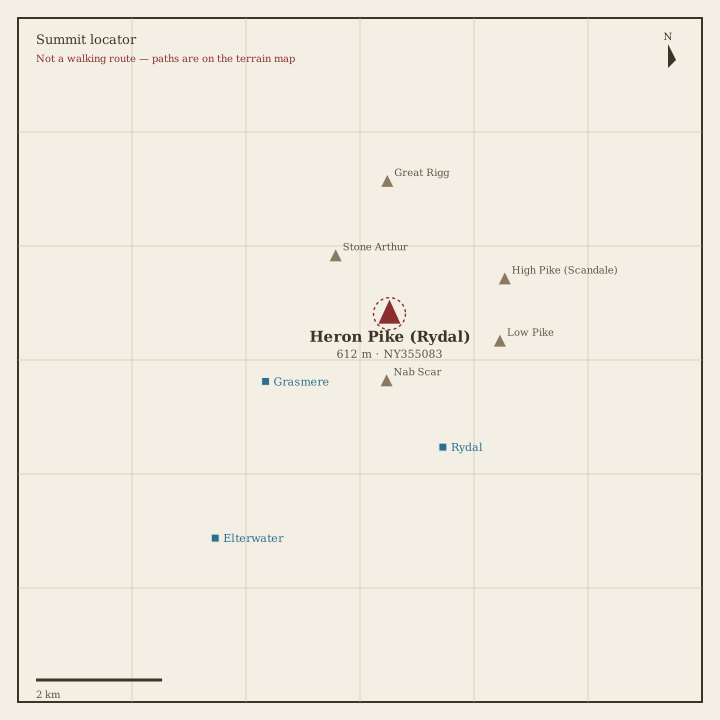
Heron Pike Locator sketch of Heron Pike
Moderate · 3–5 hrs

Heron Pike

612 m · from Rydal

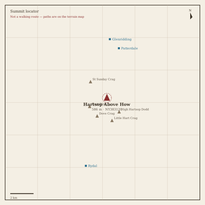
Hartsop above How Locator sketch of Hartsop above How
Moderate · 3–5 hrs

Hartsop above How

586 m · from Patterdale

Great Mell Fell Locator sketch of Great Mell Fell
Moderate · 3–5 hrs

Great Mell Fell

537 m · from Penruddock

High Hartsop Dodd Locator sketch of High Hartsop Dodd
Moderate · 3–5 hrs

High Hartsop Dodd

519 m · from Patterdale
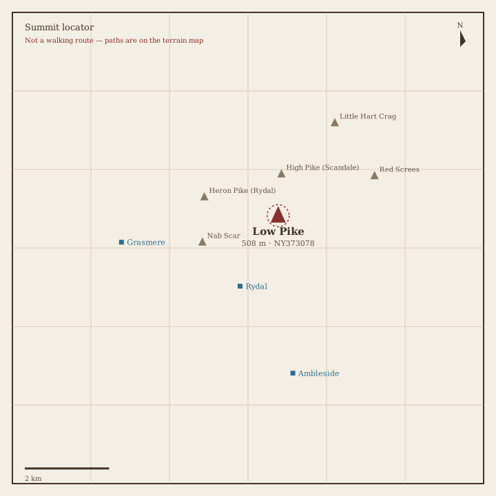
Low Pike Locator sketch of Low Pike
Moderate · 3–5 hrs

Low Pike

508 m · from Rydal

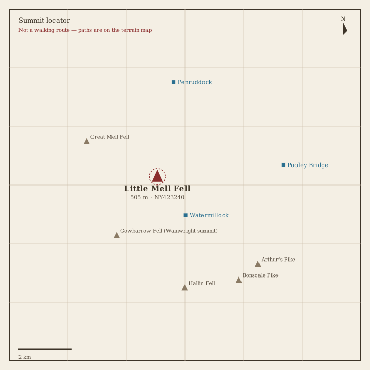
Little Mell Fell Locator sketch of Little Mell Fell
Moderate · 3–5 hrs

Little Mell Fell

505 m · from Watermillock

Stone Arthur Locator sketch of Stone Arthur
Moderate · 3–5 hrs

Stone Arthur

504 m · from Grasmere

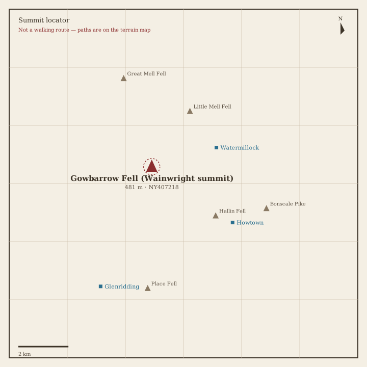
Gowbarrow Fell Locator sketch of Gowbarrow Fell
Moderate · 3–5 hrs

Gowbarrow Fell

481 m · from Watermillock
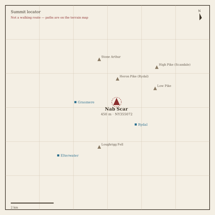
Nab Scar Locator sketch of Nab Scar
Moderate · 3–5 hrs

Nab Scar

450 m · from Rydal

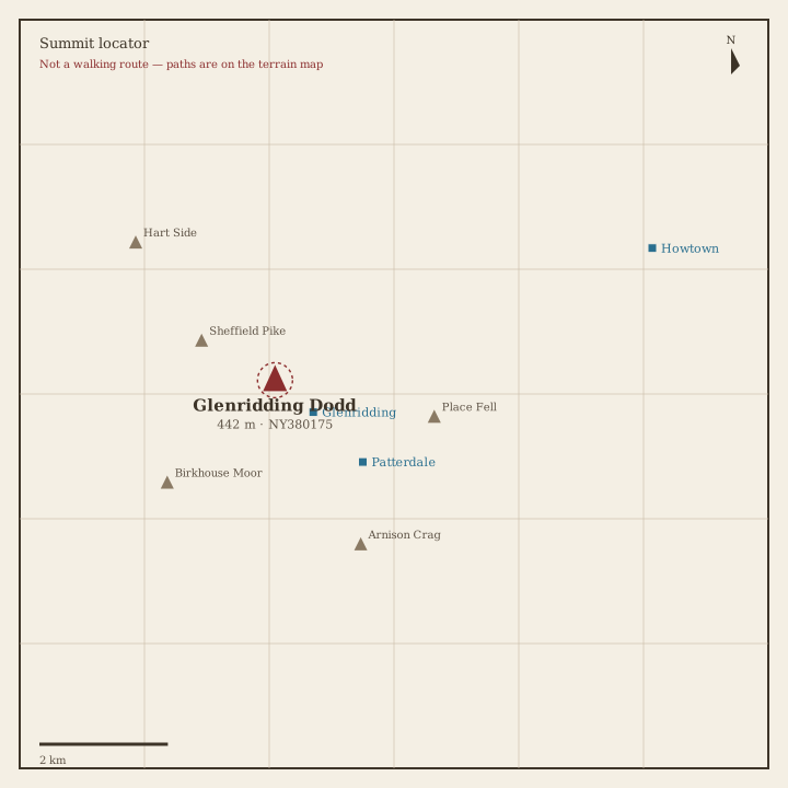
Glenridding Dodd Locator sketch of Glenridding Dodd
Moderate · 3–5 hrs

Glenridding Dodd

442 m · from Glenridding
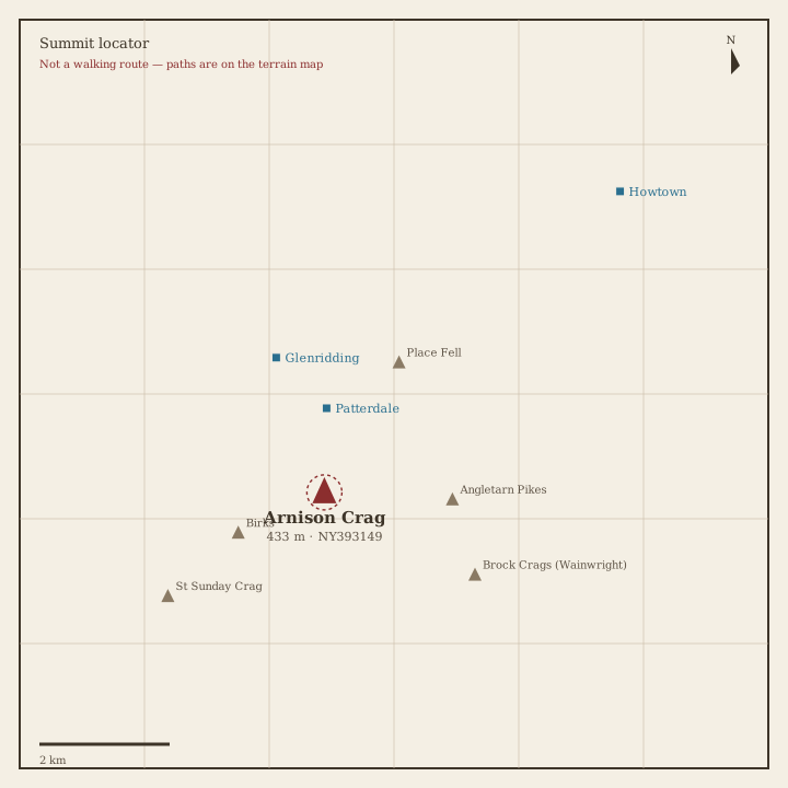
Arnison Crag Locator sketch of Arnison Crag
Moderate · 3–5 hrs

Arnison Crag

433 m · from Patterdale

Book 2 · The Far Eastern Fells

High Street, Haweswater and the fells east of Kirkstone Pass. · 36 fells

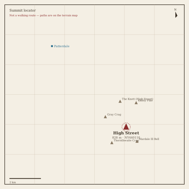
High Street Locator sketch of High Street
Hard · 5–7 hrs

High Street

828 m · from Patterdale

High Raise (High Street) Locator sketch of High Raise (High Street)
Hard · 5–7 hrs

High Raise (High Street)

804 m · from Howtown
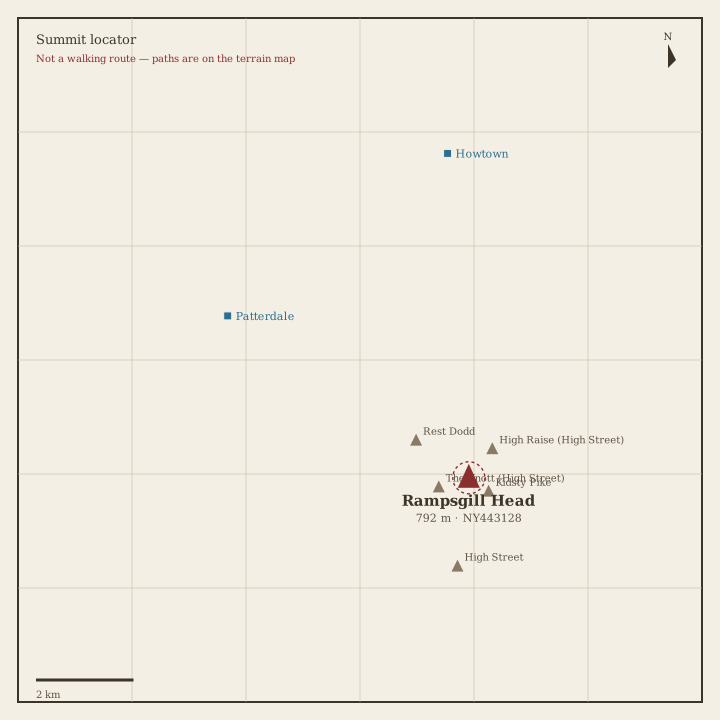
Rampsgill Head Locator sketch of Rampsgill Head
Hard · 5–7 hrs

Rampsgill Head

792 m · from Patterdale

Thornthwaite Crag Locator sketch of Thornthwaite Crag
Hard · 5–7 hrs

Thornthwaite Crag

784 m · from Troutbeck

Kidsty Pike Locator sketch of Kidsty Pike
Hard · 5–7 hrs

Kidsty Pike

781 m · from Patterdale

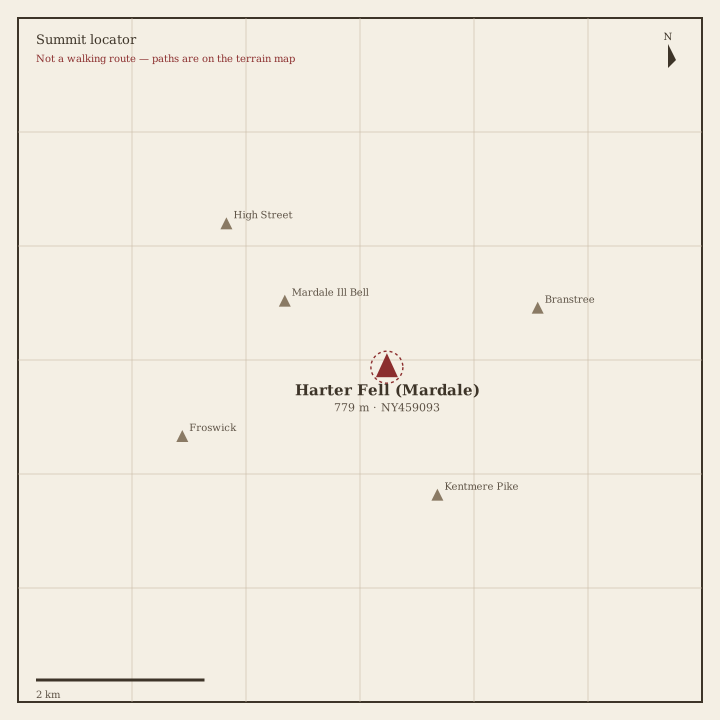
Harter Fell (Mardale) Locator sketch of Harter Fell (Mardale)
Hard · 5–7 hrs

Harter Fell (Mardale)

779 m · from Troutbeck

Caudale Moor Locator sketch of Caudale Moor
Hard · 5–7 hrs

Caudale Moor

764 m · from Rydal

Mardale Ill Bell Locator sketch of Mardale Ill Bell
Hard · 5–7 hrs

Mardale Ill Bell

760 m · from Troutbeck

Ill Bell Locator sketch of Ill Bell
Hard · 5–7 hrs

Ill Bell

757 m · from Troutbeck

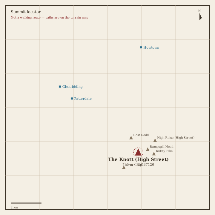
The Knott Locator sketch of The Knott
Hard · 5–7 hrs

The Knott

739 m · from Patterdale

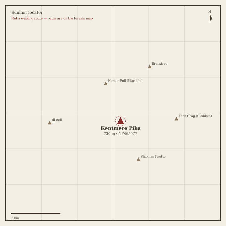
Kentmere Pike Locator sketch of Kentmere Pike
Hard · 5–7 hrs

Kentmere Pike

731 m · from Troutbeck

Froswick Locator sketch of Froswick
Hard · 5–7 hrs

Froswick

720 m · from Troutbeck

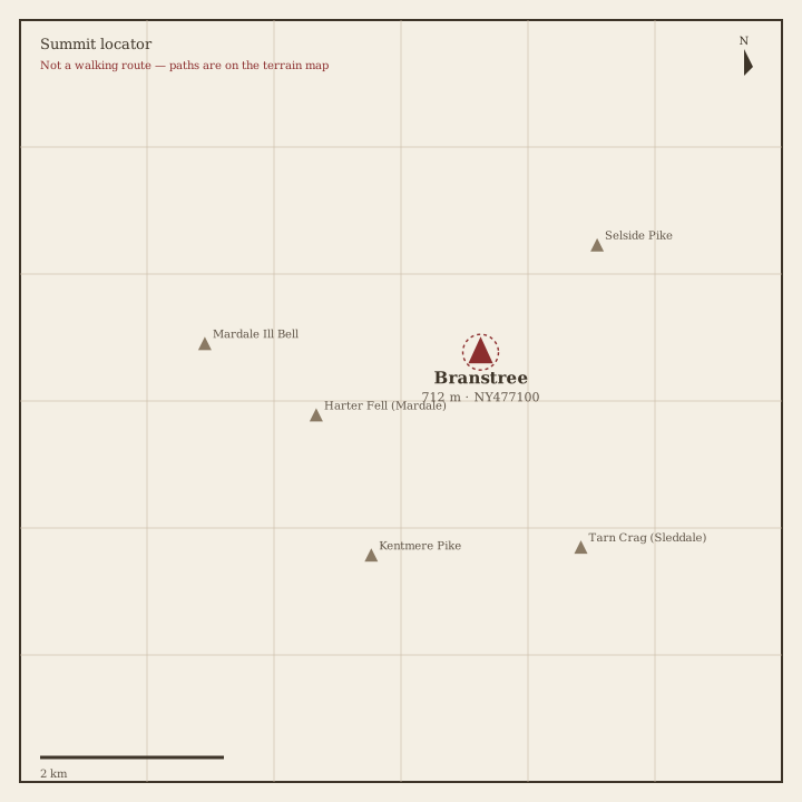
Branstree Locator sketch of Branstree
Hard · 5–7 hrs

Branstree

712 m · from Bampton

Yoke Locator sketch of Yoke
Hard · 5–7 hrs

Yoke

707 m · from Troutbeck

Gray Crag Locator sketch of Gray Crag
Hard · 5–7 hrs

Gray Crag

698 m · from Patterdale

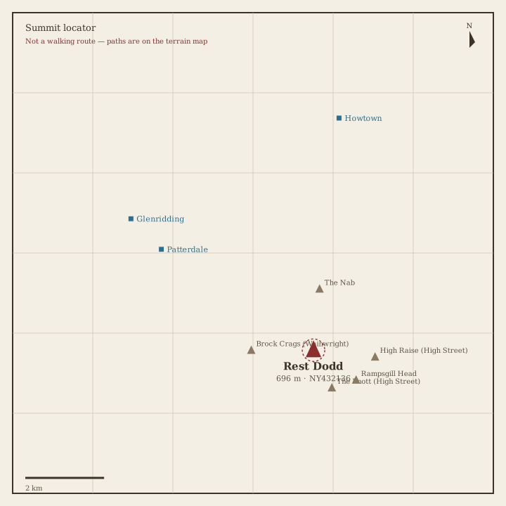
Rest Dodd Locator sketch of Rest Dodd
Hard · 5–7 hrs

Rest Dodd

696 m · from Patterdale

Loadpot Hill Locator sketch of Loadpot Hill
Hard · 5–7 hrs

Loadpot Hill

672 m · from Howtown

Wether Hill Locator sketch of Wether Hill
Hard · 5–7 hrs

Wether Hill

671 m · from Howtown

Tarn Crag (Sleddale) Locator sketch of Tarn Crag (Sleddale)
Hard · 5–7 hrs

Tarn Crag (Sleddale)

664 m · from Troutbeck

Place Fell Locator sketch of Place Fell
Hard · 5–7 hrs

Place Fell

657 m · from Patterdale

Selside Pike Locator sketch of Selside Pike
Hard · 5–7 hrs

Selside Pike

655 m · from Bampton

Grey Crag Locator sketch of Grey Crag
Moderate · 3–5 hrs

Grey Crag

638 m · from Staveley

Hartsop Dodd Locator sketch of Hartsop Dodd
Moderate · 3–5 hrs

Hartsop Dodd

619 m · from Patterdale

Shipman Knotts Locator sketch of Shipman Knotts
Moderate · 3–5 hrs

Shipman Knotts

587 m · from Troutbeck

The Nab Locator sketch of The Nab
Moderate · 3–5 hrs

The Nab

576 m · from Patterdale

Angletarn Pikes Locator sketch of Angletarn Pikes
Moderate · 3–5 hrs

Angletarn Pikes

567 m · from Patterdale
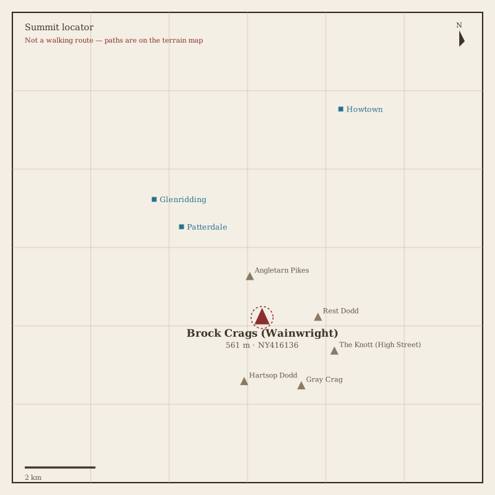
Brock Crags Locator sketch of Brock Crags
Moderate · 3–5 hrs

Brock Crags

561 m · from Patterdale

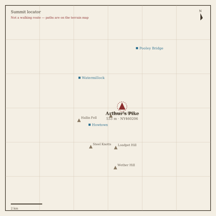
Arthur's Pike Locator sketch of Arthur's Pike
Moderate · 3–5 hrs

Arthur's Pike

533 m · from Howtown

Bonscale Pike Locator sketch of Bonscale Pike
Moderate · 3–5 hrs

Bonscale Pike

524 m · from Howtown

Sallows Locator sketch of Sallows
Moderate · 3–5 hrs

Sallows

516 m · from Troutbeck

Beda Fell Locator sketch of Beda Fell
Moderate · 3–5 hrs

Beda Fell

509 m · from Howtown

Wansfell Locator sketch of Wansfell
Moderate · 3–5 hrs

Wansfell

487 m · from Troutbeck

Sour Howes Locator sketch of Sour Howes
Moderate · 3–5 hrs

Sour Howes

483 m · from Troutbeck

Steel Knotts Locator sketch of Steel Knotts
Moderate · 3–5 hrs

Steel Knotts

432 m · from Howtown

Hallin Fell Locator sketch of Hallin Fell
Easy · 1.5–3 hrs

Hallin Fell

388 m · from Howtown

Troutbeck Tongue Locator sketch of Troutbeck Tongue
Easy · 1.5–3 hrs

Troutbeck Tongue

364 m · from Troutbeck

Book 3 · The Central Fells

Langdale Pikes, High Raise and the heart of the Lakes. · 27 fells

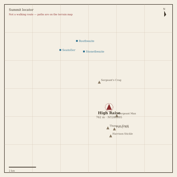
High Raise (Langdale) Locator sketch of High Raise (Langdale)
Hard · 5–7 hrs

High Raise (Langdale)

762 m · from Stonethwaite

Sergeant Man Locator sketch of Sergeant Man
Hard · 5–7 hrs

Sergeant Man

736 m · from Chapel Stile

Harrison Stickle Locator sketch of Harrison Stickle
Hard · 5–7 hrs

Harrison Stickle

736 m · from Chapel Stile
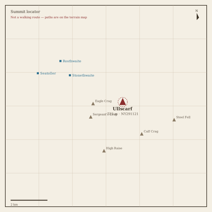
Ullscarf Locator sketch of Ullscarf
Hard · 5–7 hrs

Ullscarf

723 m · from Stonethwaite

Thunacar Knott Locator sketch of Thunacar Knott
Hard · 5–7 hrs

Thunacar Knott

723 m · from Chapel Stile

Pike of Stickle Locator sketch of Pike of Stickle
Hard · 5–7 hrs

Pike of Stickle

708 m · from Chapel Stile

Pavey Ark Locator sketch of Pavey Ark
Hard · 5–7 hrs

Pavey Ark

700 m · from Chapel Stile

Loft Crag Locator sketch of Loft Crag
Hard · 5–7 hrs

Loft Crag

682 m · from Chapel Stile

High Seat Locator sketch of High Seat
Moderate · 3–5 hrs

High Seat

609 m · from Grange-in-Borrowdale

Bleaberry Fell Locator sketch of Bleaberry Fell
Moderate · 3–5 hrs

Bleaberry Fell

590 m · from Grange-in-Borrowdale
Sergeant's Crag Locator sketch of Sergeant's Crag
Moderate · 3–5 hrs

Sergeant's Crag

571 m · from Stonethwaite
Steel Fell Locator sketch of Steel Fell
Moderate · 3–5 hrs

Steel Fell

553 m · from Grasmere

Tarn Crag (Easedale) Locator sketch of Tarn Crag (Easedale)
Moderate · 3–5 hrs

Tarn Crag (Easedale)

549 m · from Grasmere

Blea Rigg Locator sketch of Blea Rigg
Moderate · 3–5 hrs

Blea Rigg

541 m · from Chapel Stile

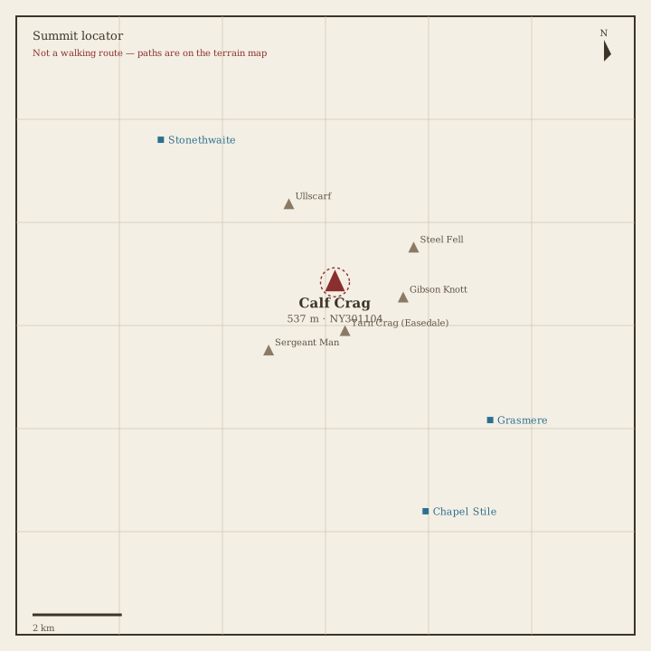
Calf Crag Locator sketch of Calf Crag
Moderate · 3–5 hrs

Calf Crag

537 m · from Grasmere

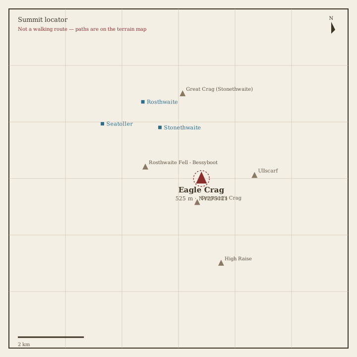
Eagle Crag Locator sketch of Eagle Crag
Moderate · 3–5 hrs

Eagle Crag

525 m · from Stonethwaite

High Tove Locator sketch of High Tove
Moderate · 3–5 hrs

High Tove

515 m · from Rosthwaite

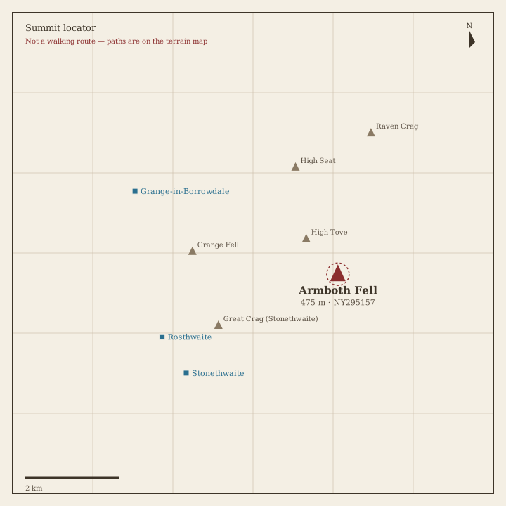
Armboth Fell Locator sketch of Armboth Fell
Moderate · 3–5 hrs

Armboth Fell

475 m · from Stonethwaite

Raven Crag Locator sketch of Raven Crag
Moderate · 3–5 hrs

Raven Crag

461 m · from Grange-in-Borrowdale
Great Crag Locator sketch of Great Crag
Moderate · 3–5 hrs

Great Crag

449 m · from Stonethwaite

Gibson Knott Locator sketch of Gibson Knott
Moderate · 3–5 hrs

Gibson Knott

420 m · from Grasmere

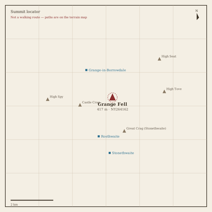
Grange Fell Locator sketch of Grange Fell
Easy · 1.5–3 hrs

Grange Fell

417 m · from Grange-in-Borrowdale

Helm Crag Locator sketch of Helm Crag
Easy · 1.5–3 hrs

Helm Crag

405 m · from Grasmere

Silver How Locator sketch of Silver How
Easy · 1.5–3 hrs

Silver How

394 m · from Grasmere

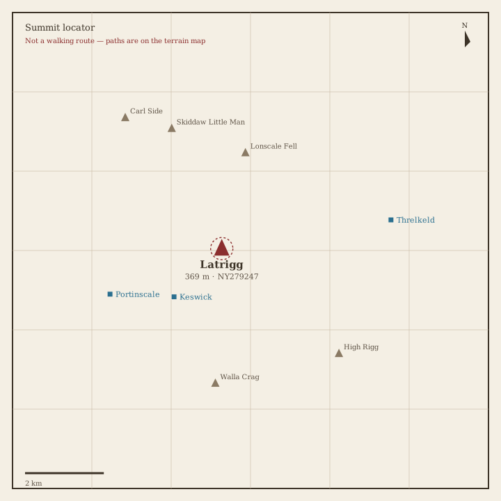
Walla Crag Locator sketch of Walla Crag
Easy · 1.5–3 hrs

Walla Crag

379 m · from Keswick

High Rigg Locator sketch of High Rigg
Easy · 1.5–3 hrs

High Rigg

355 m · from Threlkeld

Loughrigg Fell Locator sketch of Loughrigg Fell
Easy · 1.5–3 hrs

Loughrigg Fell

335 m · from Skelwith Bridge

Book 4 · The Southern Fells

The Scafells, Coniston fells and England's highest ground. · 30 fells
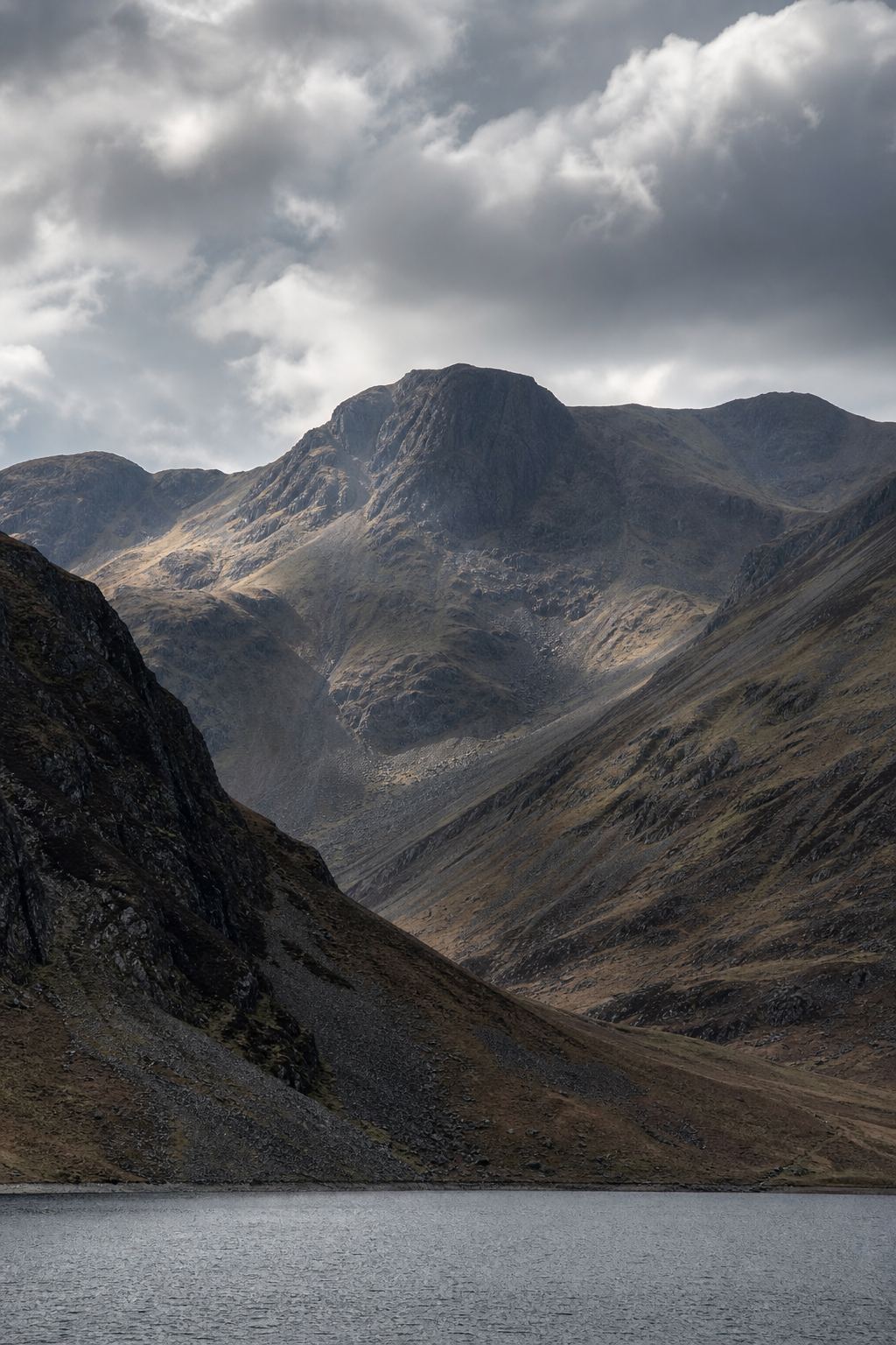
Scafell Pike Locator sketch of Scafell Pike
Hard · 6–8 hrs

Scafell Pike

978 m · from Wasdale Head

Scafell Locator sketch of Scafell
Hard · 6–8 hrs

Scafell

964 m · from Wasdale Head

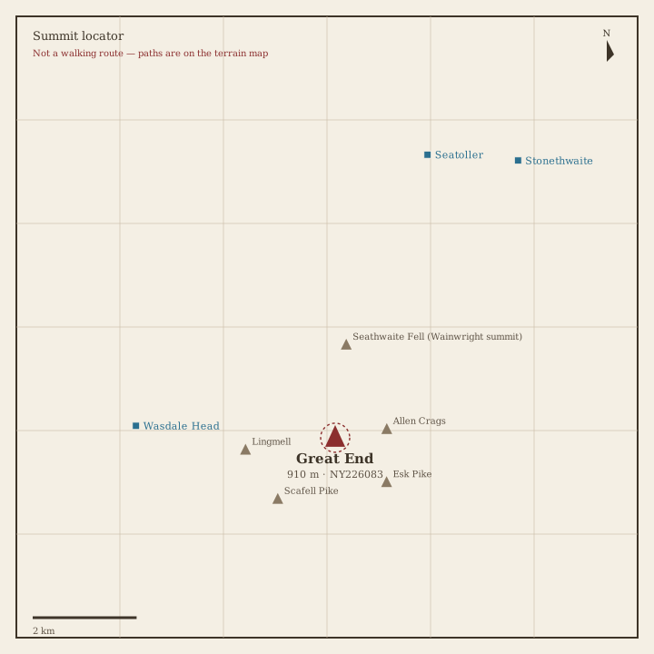
Great End Locator sketch of Great End
Hard · 6–8 hrs

Great End

910 m · from Wasdale Head

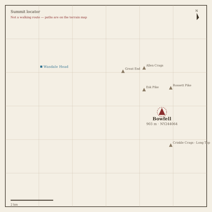
Bowfell Locator sketch of Bowfell
Hard · 6–8 hrs

Bowfell

903 m · from Wasdale Head

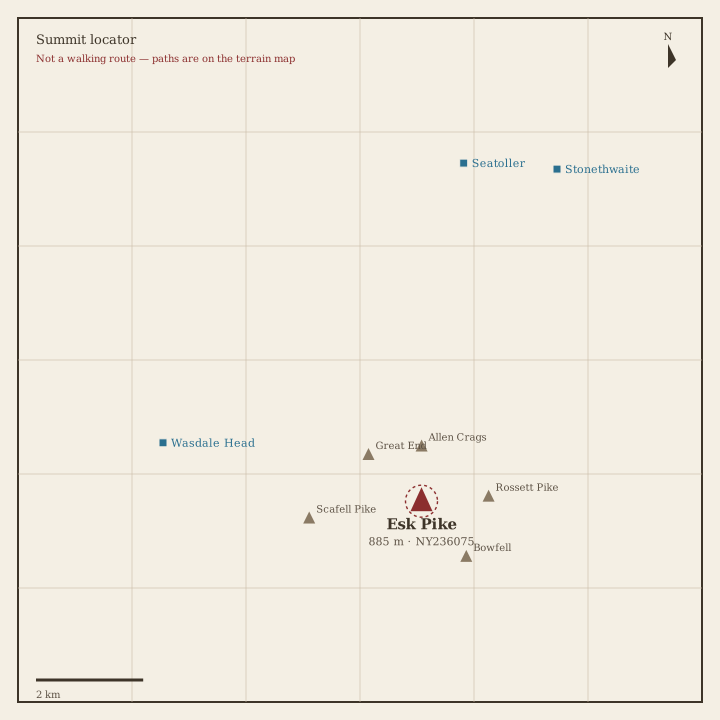
Esk Pike Locator sketch of Esk Pike
Hard · 6–8 hrs

Esk Pike

885 m · from Wasdale Head

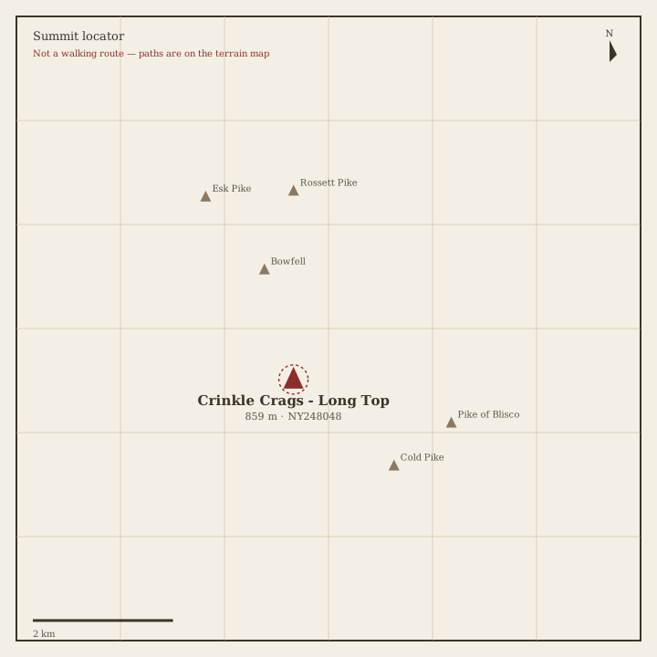
Crinkle Crags Locator sketch of Crinkle Crags
Hard · 6–8 hrs

Crinkle Crags

859 m · from Wasdale Head

Lingmell Locator sketch of Lingmell
Hard · 5–7 hrs

Lingmell

807 m · from Wasdale Head

The Old Man of Coniston Locator sketch of The Old Man of Coniston
Hard · 5–7 hrs

The Old Man of Coniston

802 m · from Coniston

Swirl How Locator sketch of Swirl How
Hard · 5–7 hrs

Swirl How

802 m · from Coniston

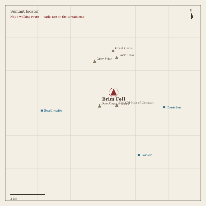
Brim Fell Locator sketch of Brim Fell
Hard · 5–7 hrs

Brim Fell

796 m · from Coniston

Great Carrs Locator sketch of Great Carrs
Hard · 5–7 hrs

Great Carrs

785 m · from Coniston

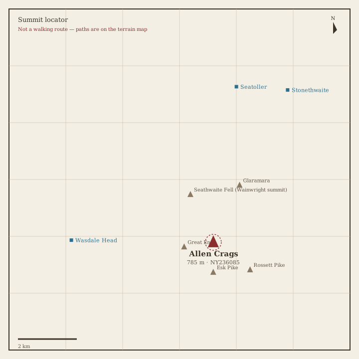
Allen Crags Locator sketch of Allen Crags
Hard · 5–7 hrs

Allen Crags

785 m · from Wasdale Head
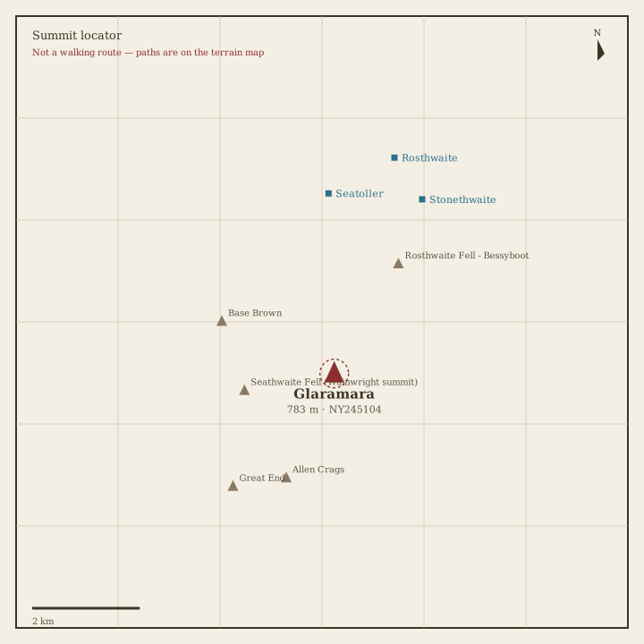
Glaramara Locator sketch of Glaramara
Hard · 5–7 hrs

Glaramara

783 m · from Seatoller

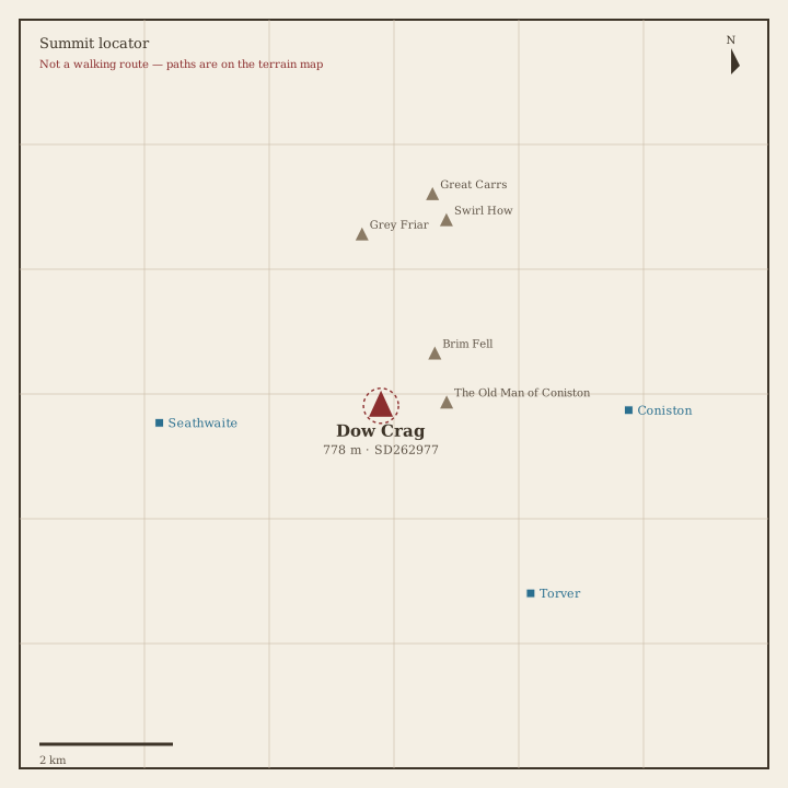
Dow Crag Locator sketch of Dow Crag
Hard · 5–7 hrs

Dow Crag

778 m · from Seathwaite

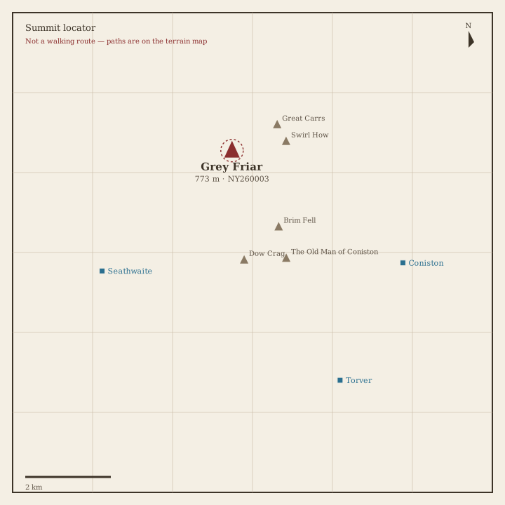
Grey Friar Locator sketch of Grey Friar
Hard · 5–7 hrs

Grey Friar

773 m · from Seathwaite

Wetherlam Locator sketch of Wetherlam
Hard · 5–7 hrs

Wetherlam

763 m · from Coniston

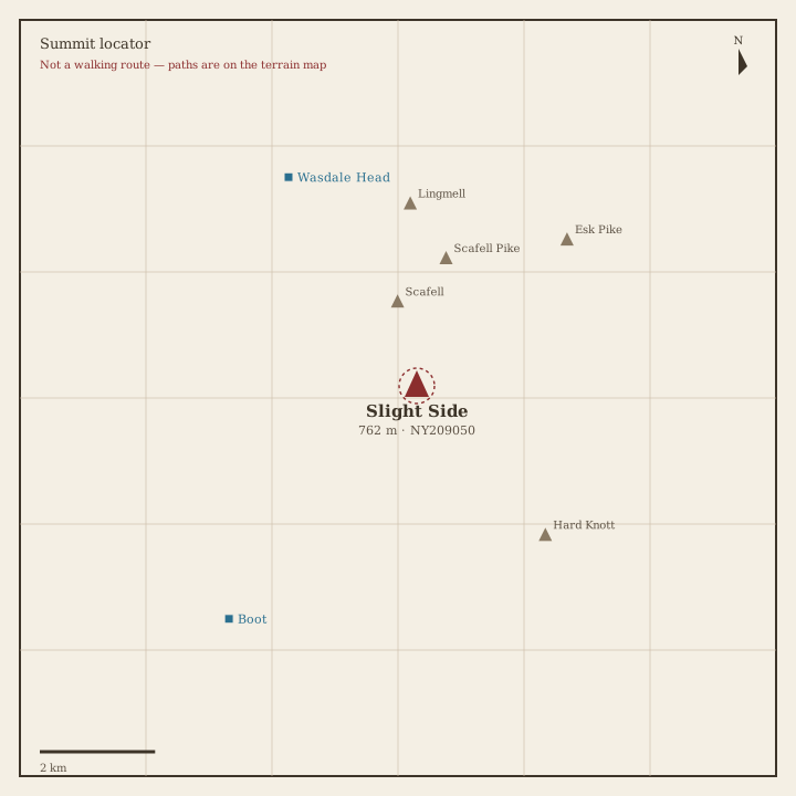
Slight Side Locator sketch of Slight Side
Hard · 5–7 hrs

Slight Side

762 m · from Wasdale Head

Pike of Blisco Locator sketch of Pike of Blisco
Hard · 5–7 hrs

Pike of Blisco

705 m · from Chapel Stile

Cold Pike Locator sketch of Cold Pike
Hard · 5–7 hrs

Cold Pike

700 m · from Chapel Stile

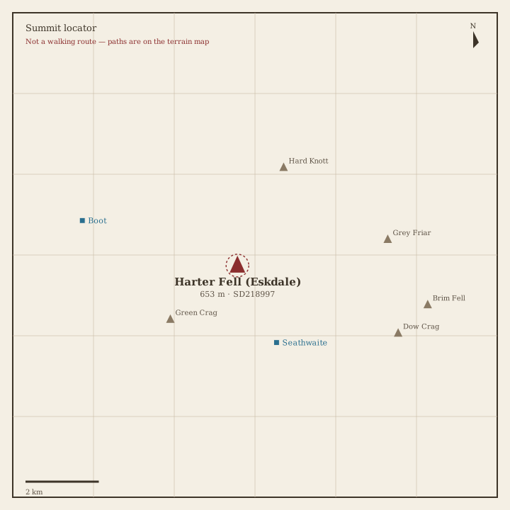
Harter Fell (Eskdale) Locator sketch of Harter Fell (Eskdale)
Hard · 5–7 hrs

Harter Fell (Eskdale)

653 m · from Seathwaite
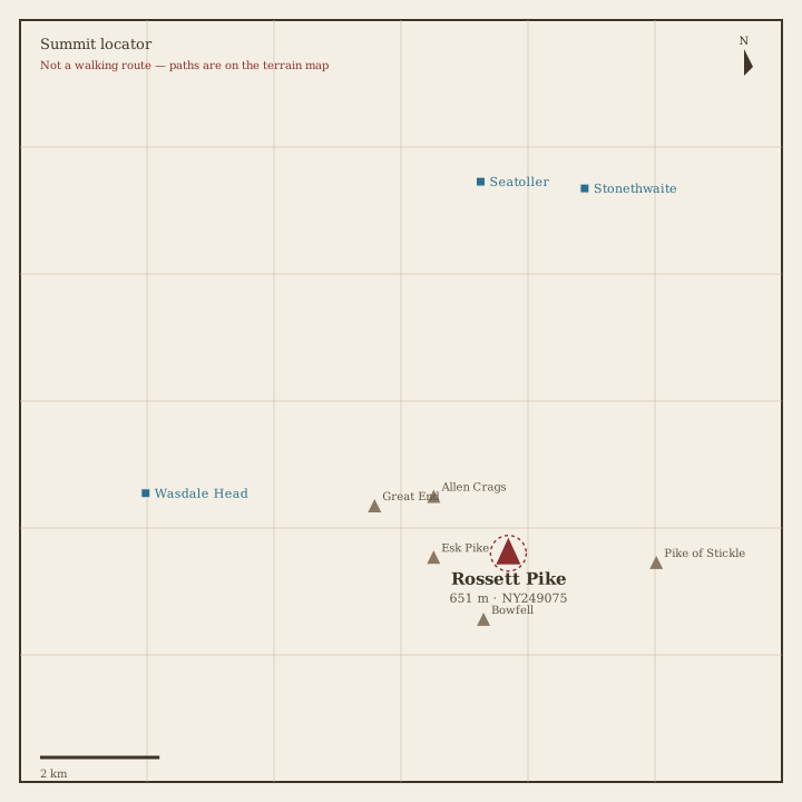
Rossett Pike Locator sketch of Rossett Pike
Hard · 5–7 hrs

Rossett Pike

651 m · from Seatoller

Illgill Head Locator sketch of Illgill Head
Moderate · 3–5 hrs

Illgill Head

609 m · from Boot

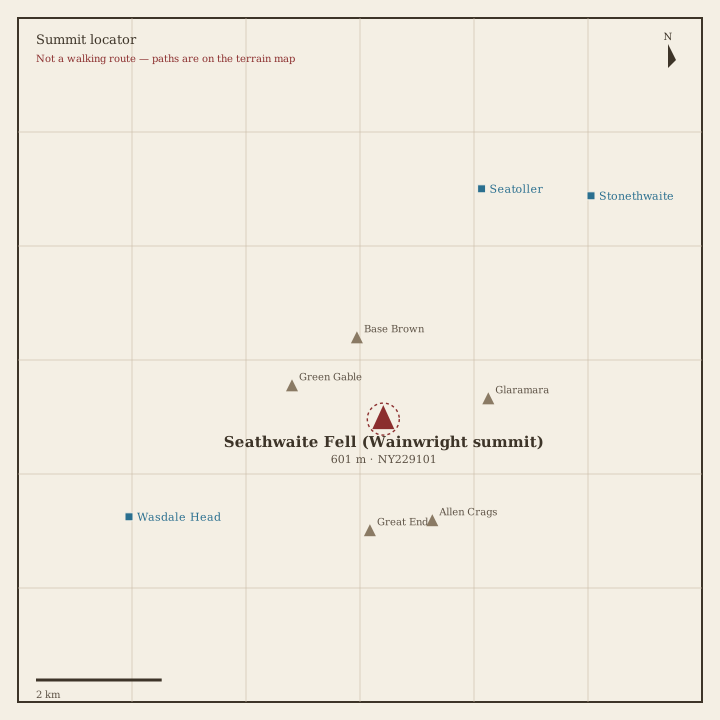
Seathwaite Fell Locator sketch of Seathwaite Fell
Moderate · 3–5 hrs

Seathwaite Fell

601 m · from Seatoller
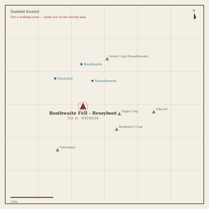
Rosthwaite Fell Locator sketch of Rosthwaite Fell
Moderate · 3–5 hrs

Rosthwaite Fell

551 m · from Stonethwaite
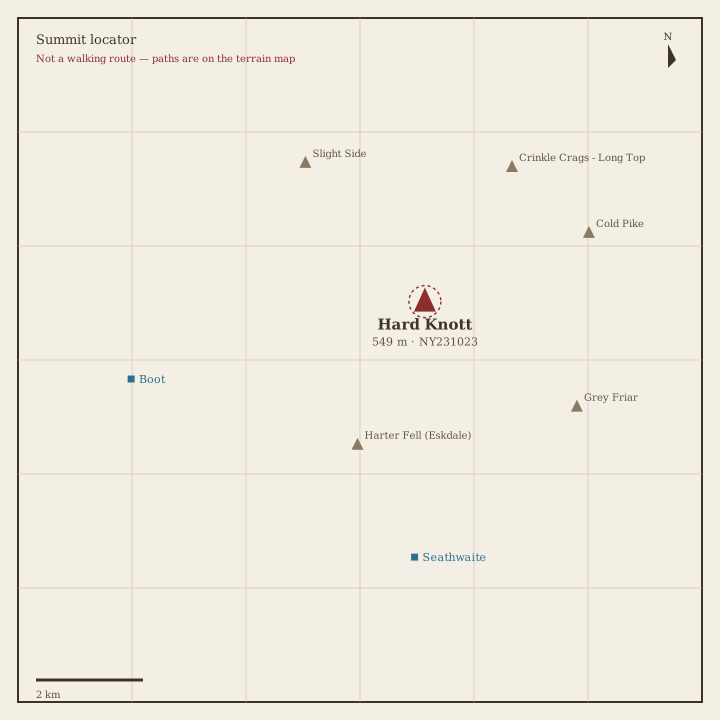
Hard Knott Locator sketch of Hard Knott
Moderate · 3–5 hrs

Hard Knott

549 m · from Seathwaite

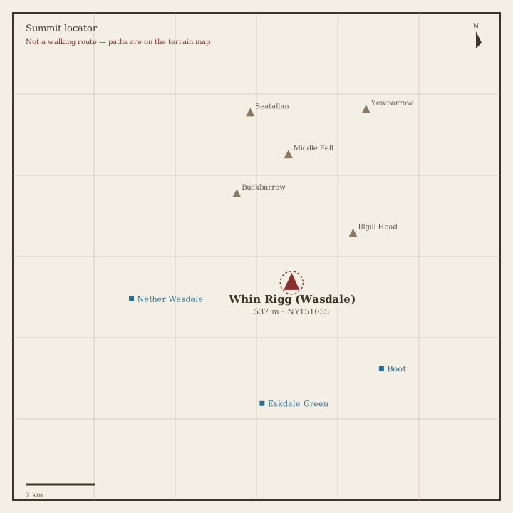
Whin Rigg Locator sketch of Whin Rigg
Moderate · 3–5 hrs

Whin Rigg

537 m · from Eskdale Green

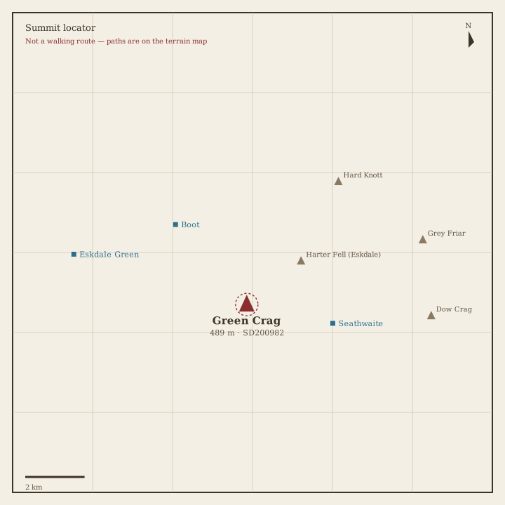
Green Crag Locator sketch of Green Crag
Moderate · 3–5 hrs

Green Crag

489 m · from Seathwaite

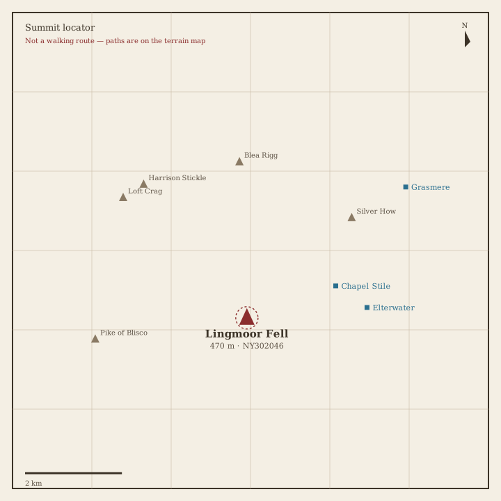
Lingmoor Fell Locator sketch of Lingmoor Fell
Moderate · 3–5 hrs

Lingmoor Fell

470 m · from Chapel Stile
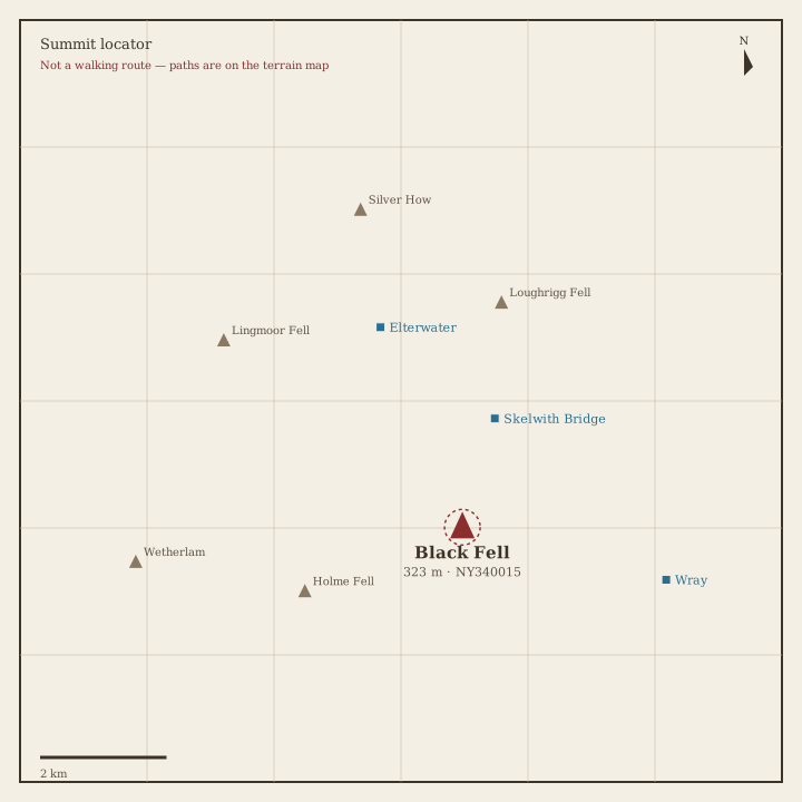
Black Fell Locator sketch of Black Fell
Easy · 1.5–3 hrs

Black Fell

323 m · from Skelwith Bridge

Holme Fell Locator sketch of Holme Fell
Easy · 1.5–3 hrs

Holme Fell

316 m · from Coniston

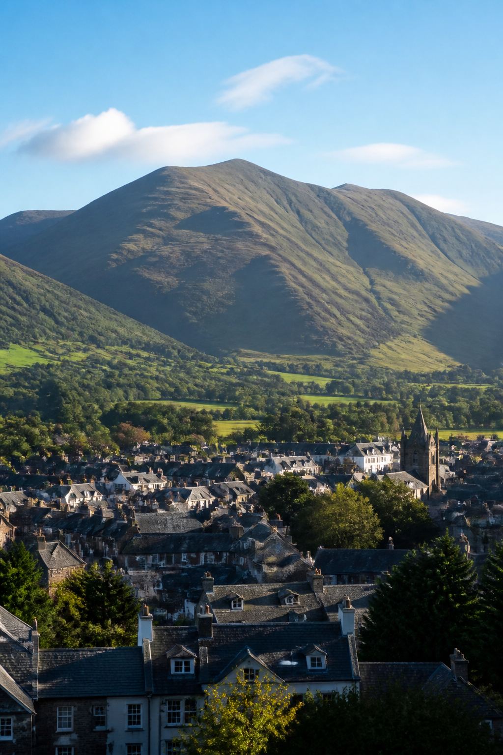
Book 5 · The Northern Fells

Skiddaw, Blencathra and the quiet round north of Keswick. · 24 fells
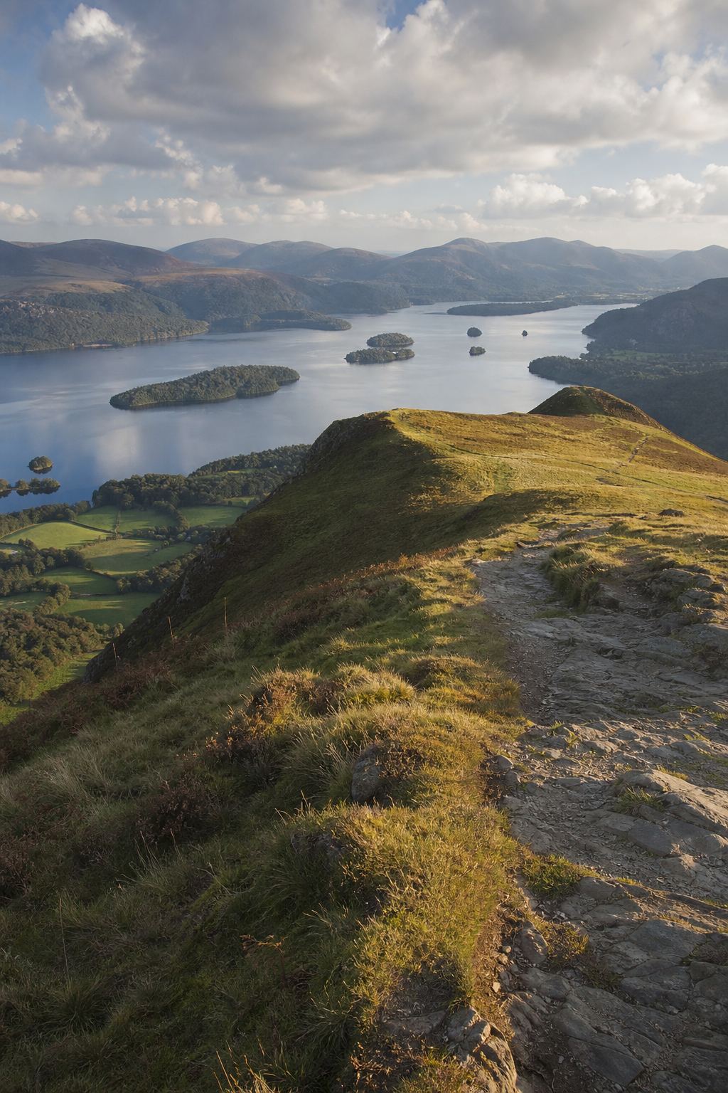
Book 6 · The North Western Fells

Grasmoor, Catbells, Newlands and the Buttermere–Borrowdale oval. · 29 fells
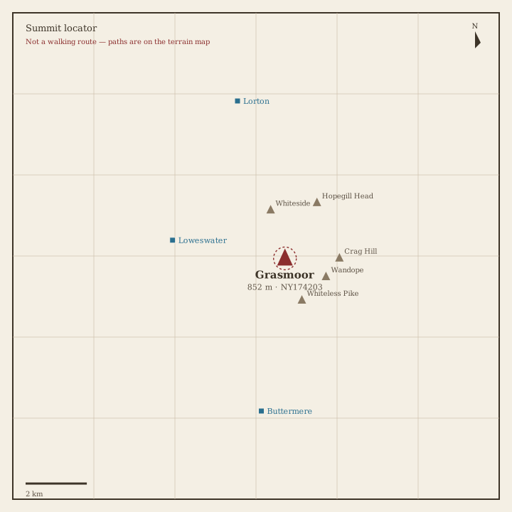
Grasmoor Locator sketch of Grasmoor
Hard · 6–8 hrs

Grasmoor

852 m · from Loweswater

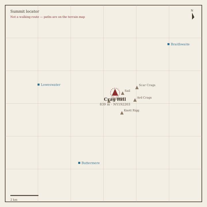
Crag Hill (Eel Crag) Locator sketch of Crag Hill (Eel Crag)
Hard · 5–7 hrs

Crag Hill (Eel Crag)

839 m · from Braithwaite
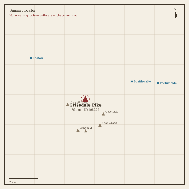
Grisedale Pike Locator sketch of Grisedale Pike
Hard · 5–7 hrs

Grisedale Pike

791 m · from Braithwaite
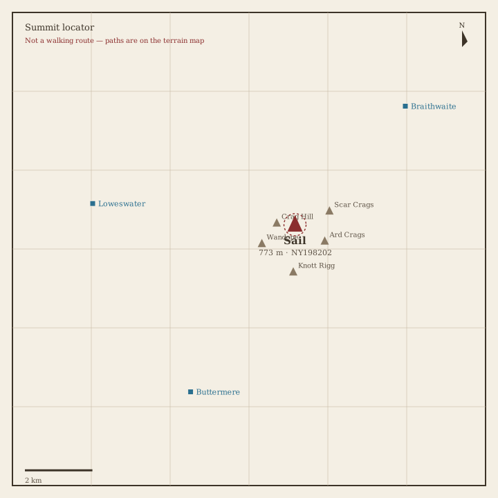
Sail Locator sketch of Sail
Hard · 5–7 hrs

Sail

773 m · from Braithwaite

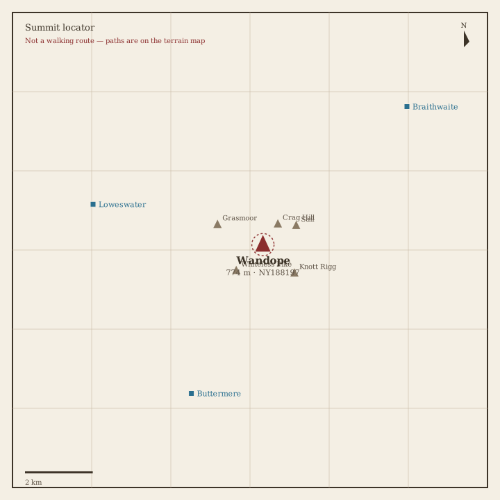
Wandope Locator sketch of Wandope
Hard · 5–7 hrs

Wandope

774 m · from Buttermere

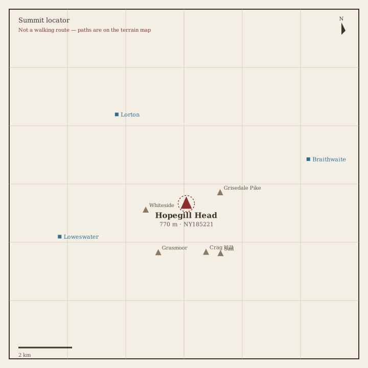
Hopegill Head Locator sketch of Hopegill Head
Hard · 5–7 hrs

Hopegill Head

770 m · from Lorton

Dale Head Locator sketch of Dale Head
Hard · 5–7 hrs

Dale Head

753 m · from Seatoller

Robinson Locator sketch of Robinson
Hard · 5–7 hrs

Robinson

737 m · from Buttermere

Hindscarth Locator sketch of Hindscarth
Hard · 5–7 hrs

Hindscarth

727 m · from Grange-in-Borrowdale
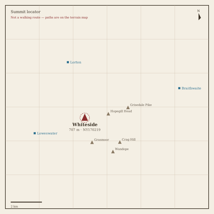
Whiteside Locator sketch of Whiteside
Hard · 5–7 hrs

Whiteside

707 m · from Loweswater

Scar Crags Locator sketch of Scar Crags
Hard · 5–7 hrs

Scar Crags

672 m · from Braithwaite

Whiteless Pike Locator sketch of Whiteless Pike
Hard · 5–7 hrs

Whiteless Pike

660 m · from Buttermere

High Spy Locator sketch of High Spy
Hard · 5–7 hrs

High Spy

653 m · from Grange-in-Borrowdale

Causey Pike Locator sketch of Causey Pike
Moderate · 3–5 hrs

Causey Pike

637 m · from Braithwaite

Maiden Moor Locator sketch of Maiden Moor
Moderate · 3–5 hrs

Maiden Moor

575 m · from Grange-in-Borrowdale

Ard Crags Locator sketch of Ard Crags
Moderate · 3–5 hrs

Ard Crags

581 m · from Braithwaite

Outerside Locator sketch of Outerside
Moderate · 3–5 hrs

Outerside

568 m · from Braithwaite

Knott Rigg Locator sketch of Knott Rigg
Moderate · 3–5 hrs

Knott Rigg

556 m · from Buttermere

Lord's Seat Locator sketch of Lord's Seat
Moderate · 3–5 hrs

Lord's Seat

552 m · from Braithwaite

Whinlatter Locator sketch of Whinlatter
Moderate · 3–5 hrs

Whinlatter

517 m · from Lorton

Broom Fell Locator sketch of Broom Fell
Moderate · 3–5 hrs

Broom Fell

510 m · from Lorton

Barf Locator sketch of Barf
Moderate · 3–5 hrs

Barf

469 m · from Braithwaite

Barrow Locator sketch of Barrow
Moderate · 3–5 hrs

Barrow

455 m · from Braithwaite

Graystones Locator sketch of Graystones
Moderate · 3–5 hrs

Graystones

450 m · from Lorton

Catbells Locator sketch of Catbells
Moderate · 3–5 hrs

Catbells

451 m · from Grange-in-Borrowdale

Ling Fell Locator sketch of Ling Fell
Easy · 1.5–3 hrs

Ling Fell

374 m · from Embleton

Sale Fell Locator sketch of Sale Fell
Easy · 1.5–3 hrs

Sale Fell

359 m · from Embleton

Rannerdale Knotts Locator sketch of Rannerdale Knotts
Easy · 1.5–3 hrs

Rannerdale Knotts

355 m · from Buttermere

Castle Crag Locator sketch of Castle Crag
Easy · 1.5–3 hrs

Castle Crag

290 m · from Grange-in-Borrowdale

Book 7 · The Western Fells

Great Gable, Pillar, High Stile and Haystacks. · 33 fells

Great Gable Locator sketch of Great Gable
Hard · 6–8 hrs

Great Gable

899 m · from Wasdale Head
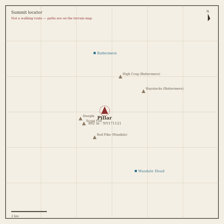
Pillar Locator sketch of Pillar
Hard · 6–8 hrs

Pillar

892 m · from Buttermere

Scoat Fell Locator sketch of Scoat Fell
Hard · 5–7 hrs

Scoat Fell

841 m · from Wasdale Head

Red Pike (Wasdale) Locator sketch of Red Pike (Wasdale)
Hard · 5–7 hrs

Red Pike (Wasdale)

826 m · from Wasdale Head
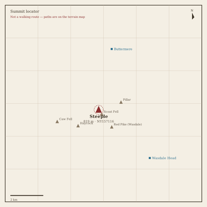
Steeple Locator sketch of Steeple
Hard · 5–7 hrs

Steeple

819 m · from Buttermere

High Stile Locator sketch of High Stile
Hard · 5–7 hrs

High Stile

806 m · from Buttermere

Kirk Fell Locator sketch of Kirk Fell
Hard · 5–7 hrs

Kirk Fell

802 m · from Wasdale Head

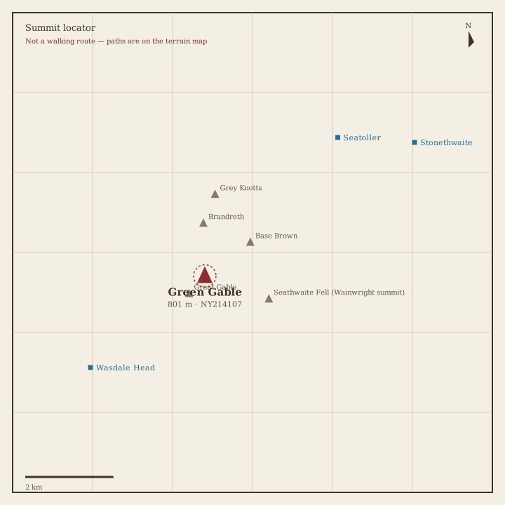
Green Gable Locator sketch of Green Gable
Hard · 5–7 hrs

Green Gable

801 m · from Wasdale Head

Haycock Locator sketch of Haycock
Hard · 5–7 hrs

Haycock

797 m · from Wasdale Head

Red Pike (Buttermere) Locator sketch of Red Pike (Buttermere)
Hard · 5–7 hrs

Red Pike (Buttermere)

755 m · from Buttermere

High Crag Locator sketch of High Crag
Hard · 5–7 hrs

High Crag

745 m · from Buttermere

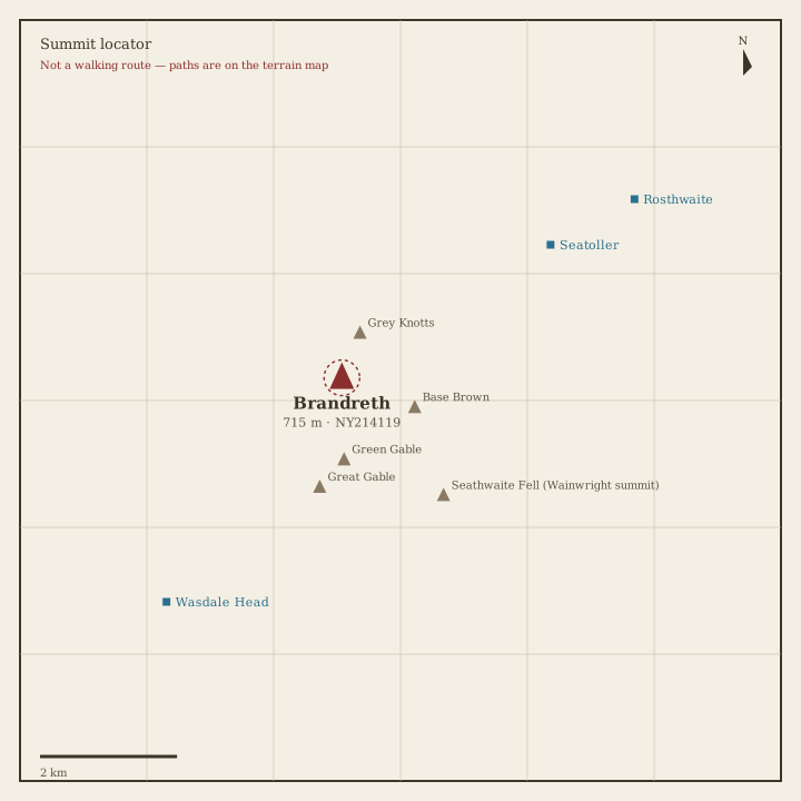
Brandreth Locator sketch of Brandreth
Hard · 5–7 hrs

Brandreth

715 m · from Seatoller

Caw Fell Locator sketch of Caw Fell
Hard · 5–7 hrs

Caw Fell

697 m · from Buttermere

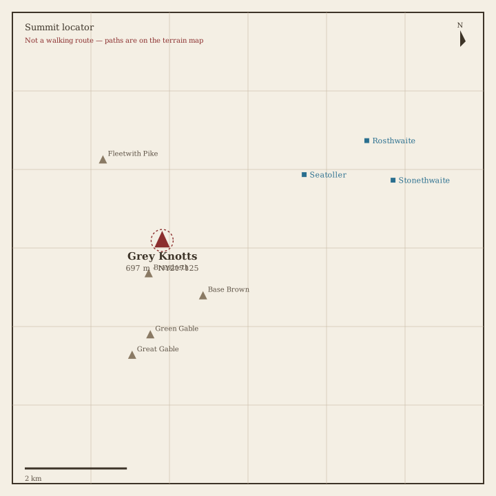
Grey Knotts Locator sketch of Grey Knotts
Hard · 5–7 hrs

Grey Knotts

697 m · from Seatoller

Seatallan Locator sketch of Seatallan
Hard · 5–7 hrs

Seatallan

692 m · from Wasdale Head

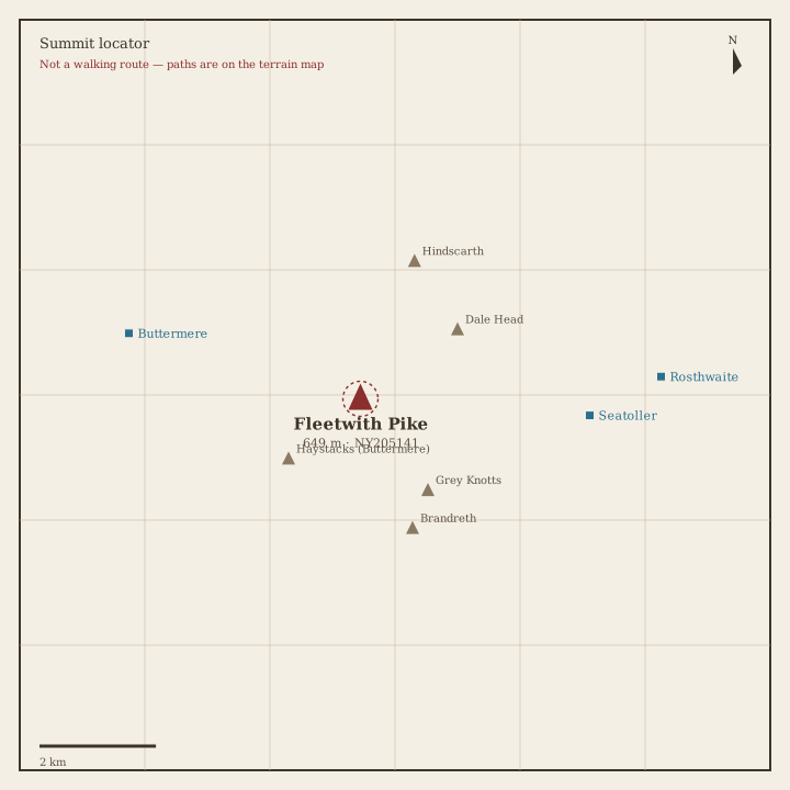
Fleetwith Pike Locator sketch of Fleetwith Pike
Moderate · 3–5 hrs

Fleetwith Pike

649 m · from Seatoller
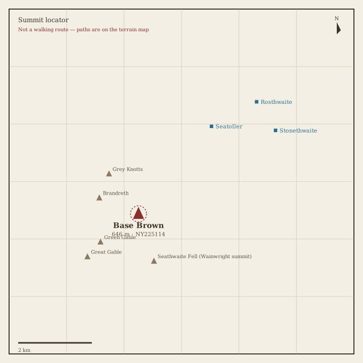
Base Brown Locator sketch of Base Brown
Moderate · 3–5 hrs

Base Brown

646 m · from Seatoller

Starling Dodd Locator sketch of Starling Dodd
Moderate · 3–5 hrs

Starling Dodd

633 m · from Buttermere
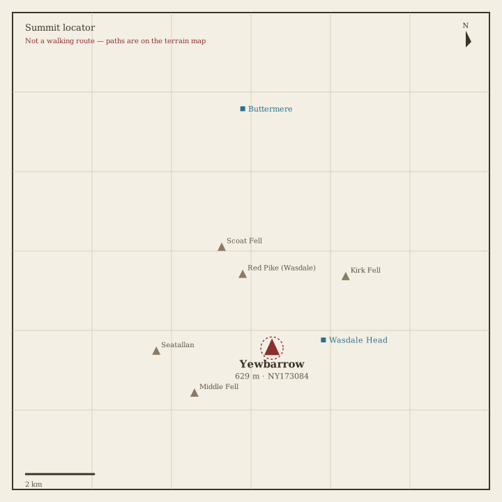
Yewbarrow Locator sketch of Yewbarrow
Moderate · 3–5 hrs

Yewbarrow

629 m · from Wasdale Head

Great Borne Locator sketch of Great Borne
Moderate · 3–5 hrs

Great Borne

616 m · from Buttermere

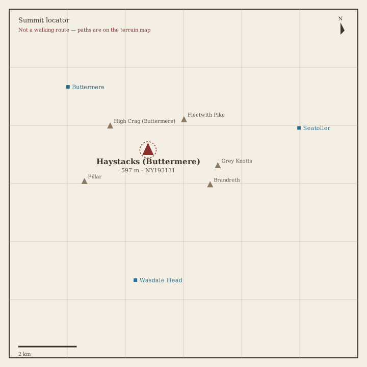
Haystacks Locator sketch of Haystacks
Moderate · 3–5 hrs

Haystacks

597 m · from Buttermere

Middle Fell Locator sketch of Middle Fell
Moderate · 3–5 hrs

Middle Fell

582 m · from Wasdale Head

Blake Fell Locator sketch of Blake Fell
Moderate · 3–5 hrs

Blake Fell

573 m · from Loweswater

Lank Rigg Locator sketch of Lank Rigg
Moderate · 3–5 hrs

Lank Rigg

541 m · from Ennerdale Bridge

Gavel Fell Locator sketch of Gavel Fell
Moderate · 3–5 hrs

Gavel Fell

524 m · from Loweswater

Crag Fell Locator sketch of Crag Fell
Moderate · 3–5 hrs

Crag Fell

523 m · from Ennerdale Bridge

Mellbreak Locator sketch of Mellbreak
Moderate · 3–5 hrs

Mellbreak

512 m · from Loweswater

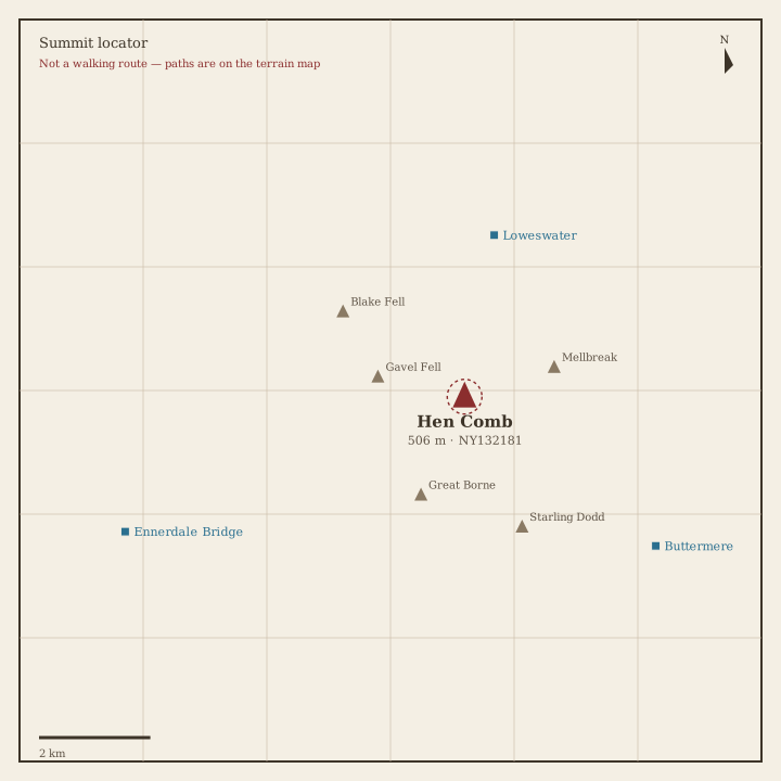
Hen Comb Locator sketch of Hen Comb
Moderate · 3–5 hrs

Hen Comb

506 m · from Loweswater

Grike Locator sketch of Grike
Moderate · 3–5 hrs

Grike

488 m · from Ennerdale Bridge

Burnbank Fell Locator sketch of Burnbank Fell
Moderate · 3–5 hrs

Burnbank Fell

475 m · from Loweswater

Low Fell Locator sketch of Low Fell
Moderate · 3–5 hrs

Low Fell

423 m · from Loweswater

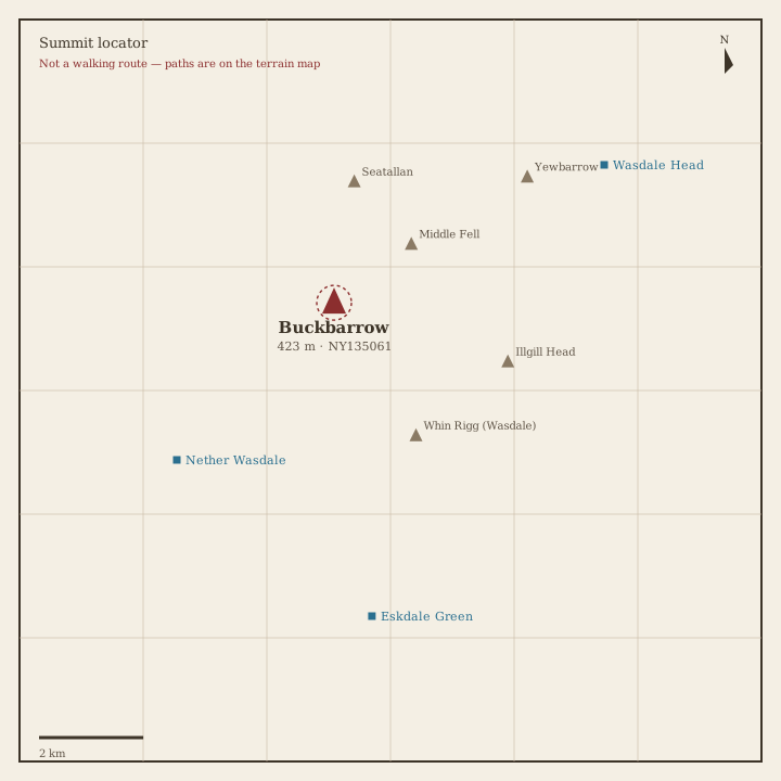
Buckbarrow Locator sketch of Buckbarrow
Moderate · 3–5 hrs

Buckbarrow

423 m · from Nether Wasdale

Fellbarrow Locator sketch of Fellbarrow
Easy · 1.5–3 hrs

Fellbarrow

416 m · from Lorton