The 214 Wainwrights

214 fells from Alfred Wainwright’s Pictorial Guides — each with a photo and a summit locator drawn from real coordinates. Paths belong on the terrain map, not on a guessed line.

Not a navigation app. Locator sketches mark the summit only. The interactive map uses OpenTopoMap so you can see real public paths. Carry an OS map and compass, check the weather, and do not follow a line we have not drawn — because we have not drawn one.

Every pin is a surveyed summit (Database of British and Irish Hills). Switch to Terrain to see mapped footpaths.

Book 6 · The North Western Fells

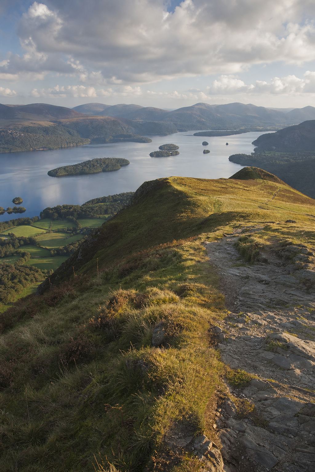
Grasmoor, Catbells, Newlands and the Buttermere–Borrowdale oval. · 29 fells
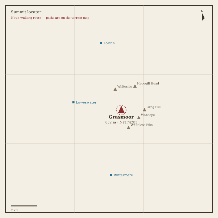
Grasmoor Locator sketch of Grasmoor
Hard · 6–8 hrs

Grasmoor

852 m · from Loweswater

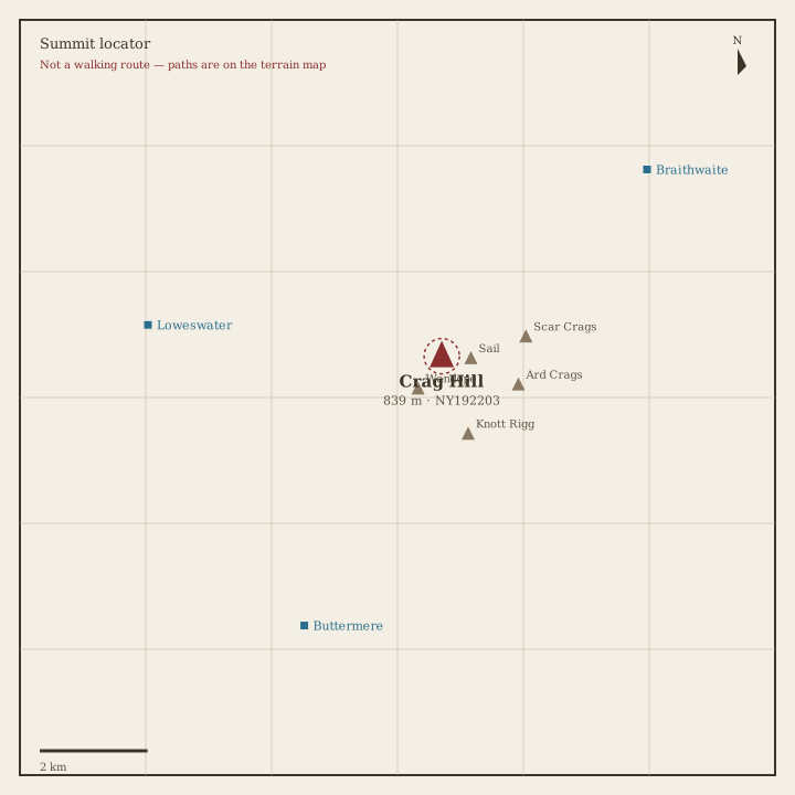
Crag Hill (Eel Crag) Locator sketch of Crag Hill (Eel Crag)
Hard · 5–7 hrs

Crag Hill (Eel Crag)

839 m · from Braithwaite
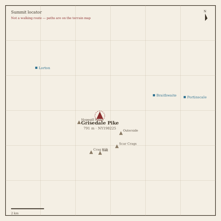
Grisedale Pike Locator sketch of Grisedale Pike
Hard · 5–7 hrs

Grisedale Pike

791 m · from Braithwaite
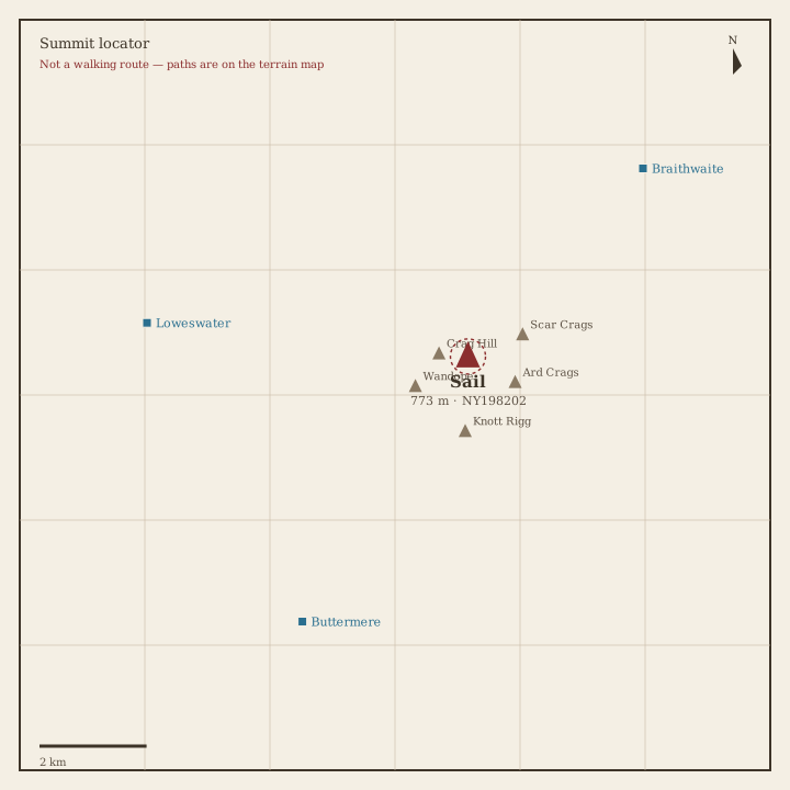
Sail Locator sketch of Sail
Hard · 5–7 hrs

Sail

773 m · from Braithwaite

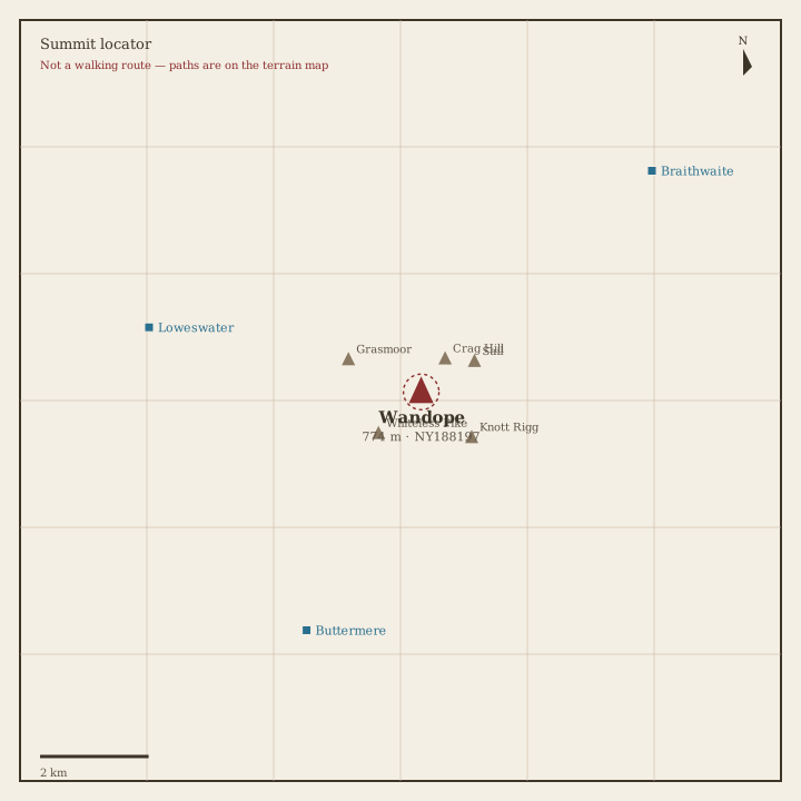
Wandope Locator sketch of Wandope
Hard · 5–7 hrs

Wandope

774 m · from Buttermere

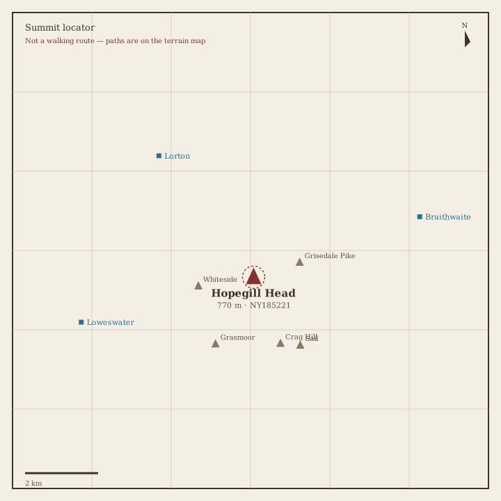
Hopegill Head Locator sketch of Hopegill Head
Hard · 5–7 hrs

Hopegill Head

770 m · from Lorton

Dale Head Locator sketch of Dale Head
Hard · 5–7 hrs

Dale Head

753 m · from Seatoller

Robinson Locator sketch of Robinson
Hard · 5–7 hrs

Robinson

737 m · from Buttermere

Hindscarth Locator sketch of Hindscarth
Hard · 5–7 hrs

Hindscarth

727 m · from Grange-in-Borrowdale
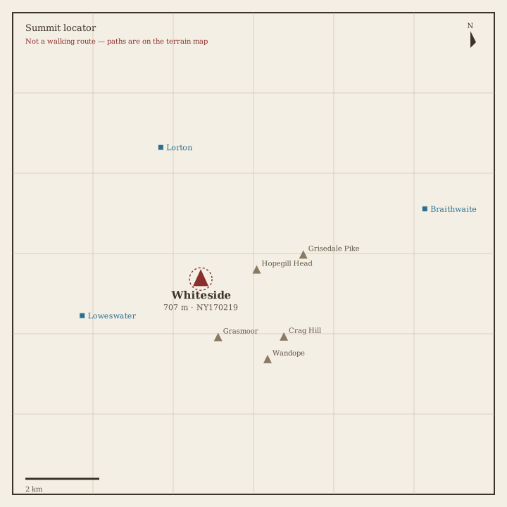
Whiteside Locator sketch of Whiteside
Hard · 5–7 hrs

Whiteside

707 m · from Loweswater

Scar Crags Locator sketch of Scar Crags
Hard · 5–7 hrs

Scar Crags

672 m · from Braithwaite

Whiteless Pike Locator sketch of Whiteless Pike
Hard · 5–7 hrs

Whiteless Pike

660 m · from Buttermere

High Spy Locator sketch of High Spy
Hard · 5–7 hrs

High Spy

653 m · from Grange-in-Borrowdale

Causey Pike Locator sketch of Causey Pike
Moderate · 3–5 hrs

Causey Pike

637 m · from Braithwaite

Maiden Moor Locator sketch of Maiden Moor
Moderate · 3–5 hrs

Maiden Moor

575 m · from Grange-in-Borrowdale

Ard Crags Locator sketch of Ard Crags
Moderate · 3–5 hrs

Ard Crags

581 m · from Braithwaite

Outerside Locator sketch of Outerside
Moderate · 3–5 hrs

Outerside

568 m · from Braithwaite

Knott Rigg Locator sketch of Knott Rigg
Moderate · 3–5 hrs

Knott Rigg

556 m · from Buttermere

Lord's Seat Locator sketch of Lord's Seat
Moderate · 3–5 hrs

Lord's Seat

552 m · from Braithwaite

Whinlatter Locator sketch of Whinlatter
Moderate · 3–5 hrs

Whinlatter

517 m · from Lorton

Broom Fell Locator sketch of Broom Fell
Moderate · 3–5 hrs

Broom Fell

510 m · from Lorton

Barf Locator sketch of Barf
Moderate · 3–5 hrs

Barf

469 m · from Braithwaite

Barrow Locator sketch of Barrow
Moderate · 3–5 hrs

Barrow

455 m · from Braithwaite

Graystones Locator sketch of Graystones
Moderate · 3–5 hrs

Graystones

450 m · from Lorton

Catbells Locator sketch of Catbells
Moderate · 3–5 hrs

Catbells

451 m · from Grange-in-Borrowdale

Ling Fell Locator sketch of Ling Fell
Easy · 1.5–3 hrs

Ling Fell

374 m · from Embleton

Sale Fell Locator sketch of Sale Fell
Easy · 1.5–3 hrs

Sale Fell

359 m · from Embleton

Rannerdale Knotts Locator sketch of Rannerdale Knotts
Easy · 1.5–3 hrs

Rannerdale Knotts

355 m · from Buttermere

Castle Crag Locator sketch of Castle Crag
Easy · 1.5–3 hrs

Castle Crag

290 m · from Grange-in-Borrowdale