The 214 Wainwrights

214 fells from Alfred Wainwright’s Pictorial Guides — each with a photo and a summit locator drawn from real coordinates. Paths belong on the terrain map, not on a guessed line.

Not a navigation app. Locator sketches mark the summit only. The interactive map uses OpenTopoMap so you can see real public paths. Carry an OS map and compass, check the weather, and do not follow a line we have not drawn — because we have not drawn one.

Every pin is a surveyed summit (Database of British and Irish Hills). Switch to Terrain to see mapped footpaths.

Book 2 · The Far Eastern Fells

High Street, Haweswater and the fells east of Kirkstone Pass. · 36 fells

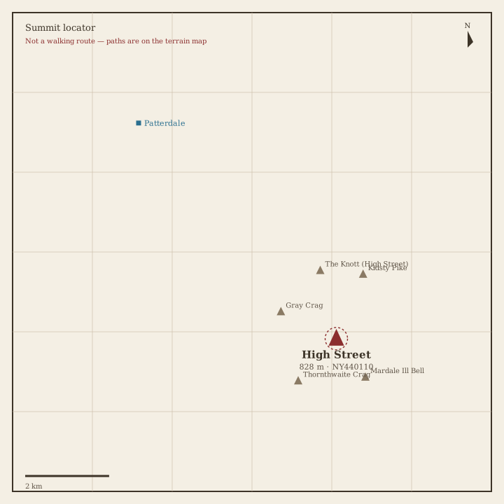
High Street Locator sketch of High Street
Hard · 5–7 hrs

High Street

828 m · from Patterdale

High Raise (High Street) Locator sketch of High Raise (High Street)
Hard · 5–7 hrs

High Raise (High Street)

804 m · from Howtown
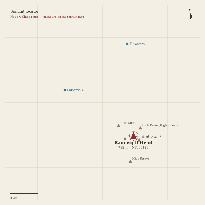
Rampsgill Head Locator sketch of Rampsgill Head
Hard · 5–7 hrs

Rampsgill Head

792 m · from Patterdale

Thornthwaite Crag Locator sketch of Thornthwaite Crag
Hard · 5–7 hrs

Thornthwaite Crag

784 m · from Troutbeck

Kidsty Pike Locator sketch of Kidsty Pike
Hard · 5–7 hrs

Kidsty Pike

781 m · from Patterdale

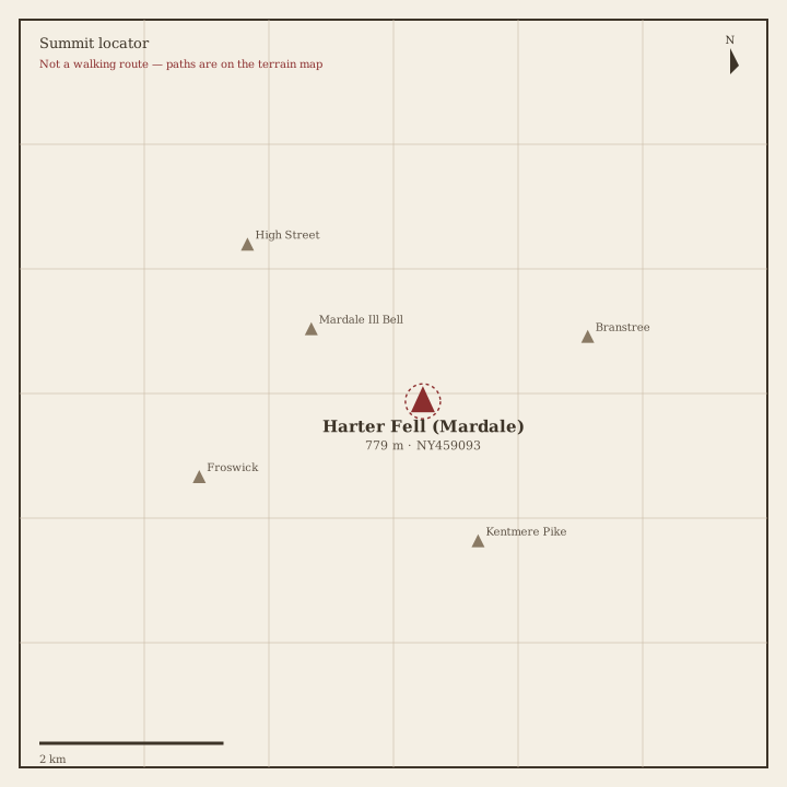
Harter Fell (Mardale) Locator sketch of Harter Fell (Mardale)
Hard · 5–7 hrs

Harter Fell (Mardale)

779 m · from Troutbeck

Caudale Moor Locator sketch of Caudale Moor
Hard · 5–7 hrs

Caudale Moor

764 m · from Rydal

Mardale Ill Bell Locator sketch of Mardale Ill Bell
Hard · 5–7 hrs

Mardale Ill Bell

760 m · from Troutbeck

Ill Bell Locator sketch of Ill Bell
Hard · 5–7 hrs

Ill Bell

757 m · from Troutbeck

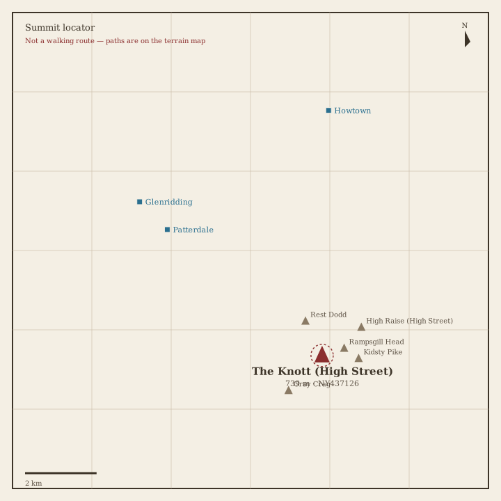
The Knott Locator sketch of The Knott
Hard · 5–7 hrs

The Knott

739 m · from Patterdale

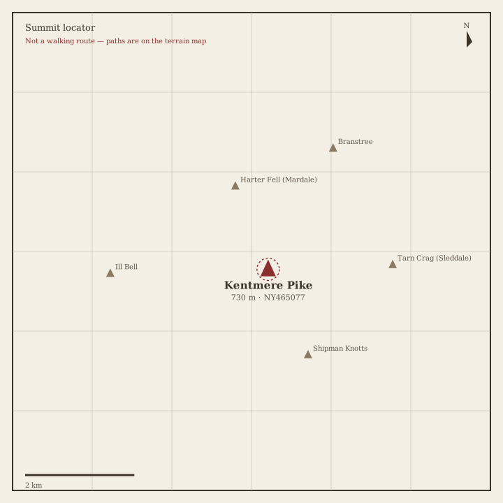
Kentmere Pike Locator sketch of Kentmere Pike
Hard · 5–7 hrs

Kentmere Pike

731 m · from Troutbeck

Froswick Locator sketch of Froswick
Hard · 5–7 hrs

Froswick

720 m · from Troutbeck

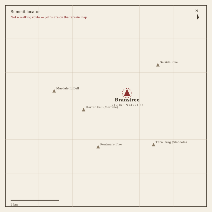
Branstree Locator sketch of Branstree
Hard · 5–7 hrs

Branstree

712 m · from Bampton

Yoke Locator sketch of Yoke
Hard · 5–7 hrs

Yoke

707 m · from Troutbeck

Gray Crag Locator sketch of Gray Crag
Hard · 5–7 hrs

Gray Crag

698 m · from Patterdale

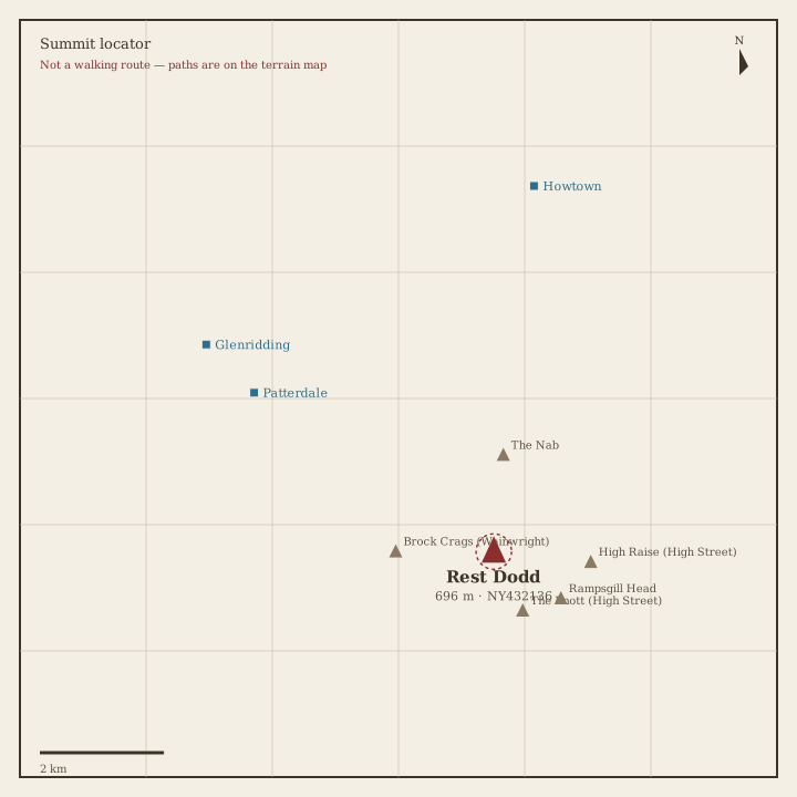
Rest Dodd Locator sketch of Rest Dodd
Hard · 5–7 hrs

Rest Dodd

696 m · from Patterdale

Loadpot Hill Locator sketch of Loadpot Hill
Hard · 5–7 hrs

Loadpot Hill

672 m · from Howtown

Wether Hill Locator sketch of Wether Hill
Hard · 5–7 hrs

Wether Hill

671 m · from Howtown

Tarn Crag (Sleddale) Locator sketch of Tarn Crag (Sleddale)
Hard · 5–7 hrs

Tarn Crag (Sleddale)

664 m · from Troutbeck

Place Fell Locator sketch of Place Fell
Hard · 5–7 hrs

Place Fell

657 m · from Patterdale

Selside Pike Locator sketch of Selside Pike
Hard · 5–7 hrs

Selside Pike

655 m · from Bampton

Grey Crag Locator sketch of Grey Crag
Moderate · 3–5 hrs

Grey Crag

638 m · from Staveley

Hartsop Dodd Locator sketch of Hartsop Dodd
Moderate · 3–5 hrs

Hartsop Dodd

619 m · from Patterdale

Shipman Knotts Locator sketch of Shipman Knotts
Moderate · 3–5 hrs

Shipman Knotts

587 m · from Troutbeck

The Nab Locator sketch of The Nab
Moderate · 3–5 hrs

The Nab

576 m · from Patterdale

Angletarn Pikes Locator sketch of Angletarn Pikes
Moderate · 3–5 hrs

Angletarn Pikes

567 m · from Patterdale
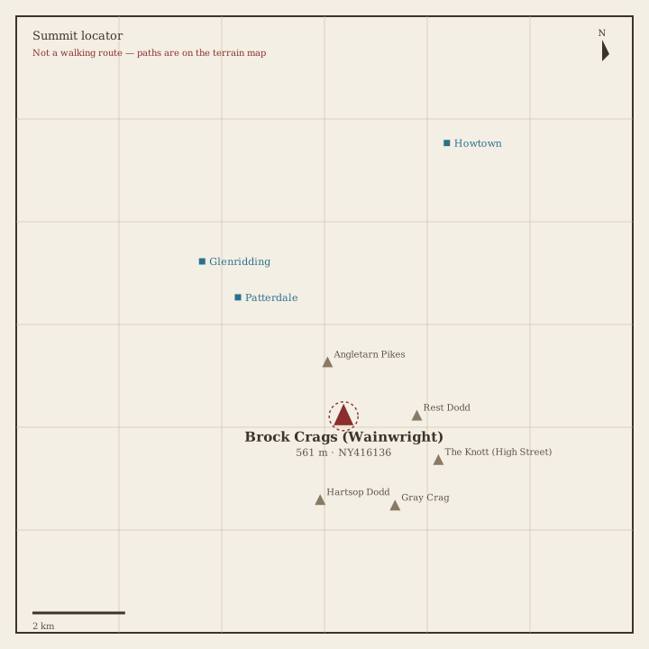
Brock Crags Locator sketch of Brock Crags
Moderate · 3–5 hrs

Brock Crags

561 m · from Patterdale

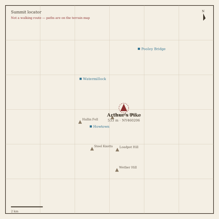
Arthur's Pike Locator sketch of Arthur's Pike
Moderate · 3–5 hrs

Arthur's Pike

533 m · from Howtown

Bonscale Pike Locator sketch of Bonscale Pike
Moderate · 3–5 hrs

Bonscale Pike

524 m · from Howtown

Sallows Locator sketch of Sallows
Moderate · 3–5 hrs

Sallows

516 m · from Troutbeck

Beda Fell Locator sketch of Beda Fell
Moderate · 3–5 hrs

Beda Fell

509 m · from Howtown

Wansfell Locator sketch of Wansfell
Moderate · 3–5 hrs

Wansfell

487 m · from Troutbeck

Sour Howes Locator sketch of Sour Howes
Moderate · 3–5 hrs

Sour Howes

483 m · from Troutbeck

Steel Knotts Locator sketch of Steel Knotts
Moderate · 3–5 hrs

Steel Knotts

432 m · from Howtown

Hallin Fell Locator sketch of Hallin Fell
Easy · 1.5–3 hrs

Hallin Fell

388 m · from Howtown

Troutbeck Tongue Locator sketch of Troutbeck Tongue
Easy · 1.5–3 hrs

Troutbeck Tongue

364 m · from Troutbeck