Lake · from Patterdale
Brothers Water
Easy
Grade
45–90 min
Typical time
Patterdale
Usual base
Lake
Type
Locator, not a GPX track.
The sketch marks this water. How-to-get-there names the usual village, car park or bus — then use the terrain map for real public paths. Gorges and hill tarns need proper footwear and an OS map.
Terrain map
Zoom in for footpaths and contours. The marker is the water, not a line of approach.
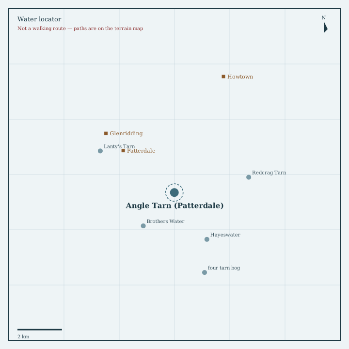
Locator sketch
Drawn from OpenStreetMap coordinates, with nearby waters and villages in their real positions.

Guide
A small lake on the Kirkstone road, with Hartsop and High Street close by.
How to get there
A592 laybys and Cow Bridge car park near Hartsop. Easy shore path. Often combined with a walk towards Hayeswater.
Nearest directory town: Patterdale. Parking, buses and path closures change — check locally before you travel.