Waterfall · from Wasdale Head
Cam Spout
Moderate
Grade
2–4 hrs
Typical time
Wasdale Head
Usual base
Waterfall
Type
Locator, not a GPX track.
The sketch marks this water. How-to-get-there names the usual village, car park or bus — then use the terrain map for real public paths. Gorges and hill tarns need proper footwear and an OS map.
Terrain map
Zoom in for footpaths and contours. The marker is the water, not a line of approach.
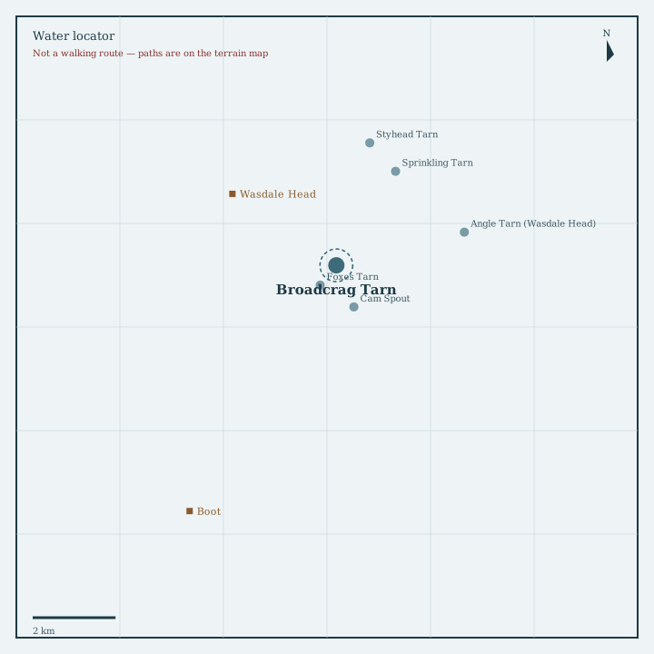
Locator sketch
Drawn from OpenStreetMap coordinates, with nearby waters and villages in their real positions.

Guide
A named Lake District waterfall near Wasdale Head.
How to get there
Usual valley base: Wasdale Head (4.0 km). Follow signed public paths shown on the terrain map. Falls are wet underfoot even in summer. We mark the waterfall, not a scramble.
Nearest directory town: Wasdale Head. Parking, buses and path closures change — check locally before you travel.