Lake · from Far Sawrey
Windermere
Terrain map
Zoom in for footpaths and contours. The marker is the water, not a line of approach.
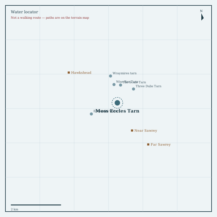
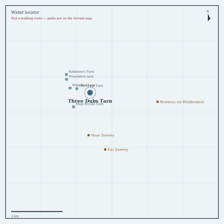
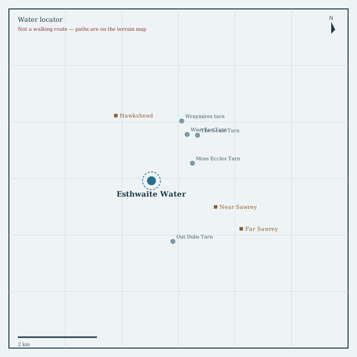
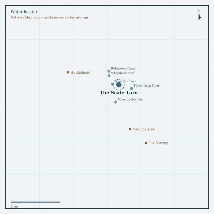
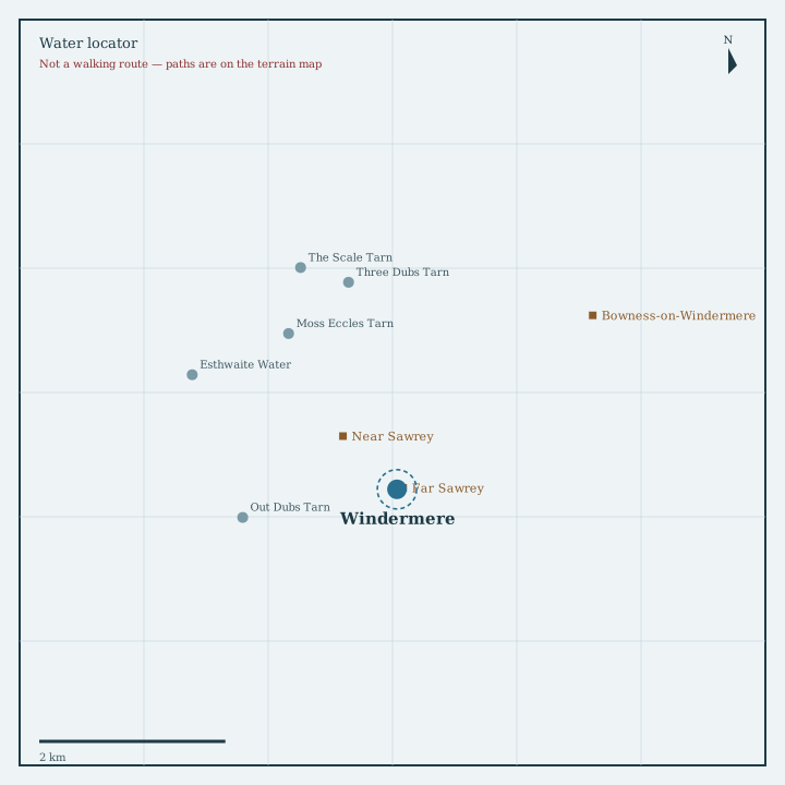
Locator sketch
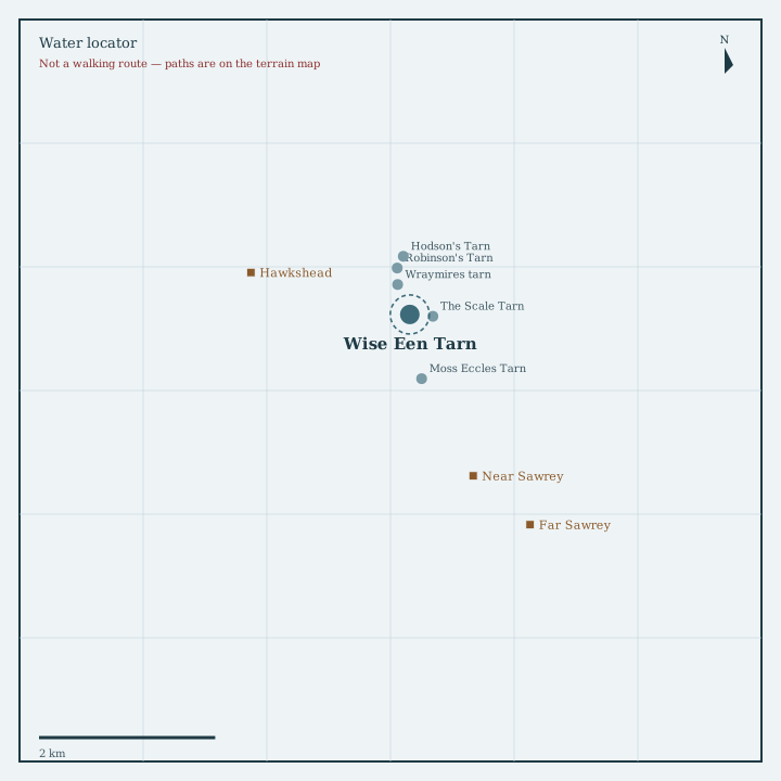
Drawn from OpenStreetMap coordinates, with nearby waters and villages in their real positions.
Guide
England’s largest natural lake: steamers, islands and the railway gateway at Windermere town.
How to get there
Rail to Windermere, then bus or walk down to Bowness. Cars: Bowness and Waterhead have large pay parks. Windermere Lake Cruises link Ambleside, Bowness and Lakeside. Shore paths are public in places; much of the bank is private — stay on marked ways.
Nearest directory town: Far Sawrey. Parking, buses and path closures change — check locally before you travel.