Waterfall · from Glenridding
Aira Force
Terrain map
Zoom in for footpaths and contours. The marker is the water, not a line of approach.
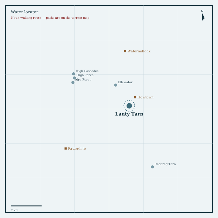
Locator sketch
Drawn from OpenStreetMap coordinates, with nearby waters and villages in their real positions.

Guide
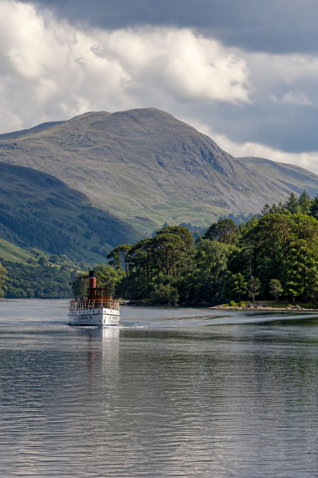
Ullswater’s best-known waterfall, dropping through a wooded gorge with a stone viewing bridge. National Trust land, busy in holiday weather, magical after rain.
How to get there
National Trust car park on the A592 between Pooley Bridge and Glenridding (charge for non-members). Well-signed woodland paths reach the force in about 20 minutes. Ullswater Steamers to Glenridding or Howtown, then bus or a longer shore walk. Paths are stepped and can be slippery.
Nearest directory town: Glenridding. Parking, buses and path closures change — check locally before you travel.